
Key facts
| Stage | What the water is doing | Where to fish |
|---|---|---|
| Slack low | Little movement; the last of the drain sits in the channels | Channel edges, deep structure; read the flat |
| First flood | New water reaches dry structure; flow building | Flats, rock bases, bar lips |
| Mid-flood | Peak flow for the cycle | Seams, lees, eddy lines |
| High slack | Flow drops away | Reef and weed that only cover at the top; mark-specific |
| First ebb | Drain starts; bait funnels off the flats | Channel mouths, drains, ambush points |
| Late ebb | Flow along the bottom; water may dirty up | Lower and further out; colour edges |
Range before clock
A tide table tells you when high water arrives and how high it will be. The number most anglers skip is the difference between that high and the low either side of it, the tidal range. NOAA defines it the same way: the height difference between high tide and low tide. Range is the part that decides how much water has to cross your bar, inlet or ledge in the next six hours.
The exchange is not linear, but the direction is reliable: a bigger range means more water moving through the same gap, and more of the seabed exposed or covered at the turn. A 0.6 m neap on a shallow bay barely wets the weed line. A 3 m spring on the same bay pulls a visible current past every point and rock. Same table, different fishery.
Before you plan anything, check which pattern your coast runs. NOAA splits them three ways: semidiurnal, with two near-equal highs and lows a day, typical of the US East Coast; diurnal, one high and one low, common in parts of the Gulf of Mexico; and mixed, two of each but unequal, the US West Coast norm and much of the Gulf. On a mixed tide one of your two daily highs is the real one. Fishing the smaller high and calling it the tide is a common way to blank.
The clock is set by the moon, not the calendar. A lunar day is 24 hours 50 minutes, so successive high tides are about 12 hours 25 minutes apart, and each high arrives roughly 50 minutes later than the one before. That drift is why last week's 6 a.m. high is this week's 8 a.m. high, and why an app that looks wrong is usually showing a different reference station from the one you are standing at.
Spring and neap: the range is the multiplier
At new and full moon the sun and moon pull in line, the tidal bulges add, and the range grows. At the quarter moons they pull at right angles, partly cancel, and the range shrinks. That is the whole idea behind spring and neap tides, and NOAA is careful to point out that spring has nothing to do with the season. Each happens twice a lunar month.
Spring tides also bring stronger tidal currents. NOAA's current tutorial is explicit that spring currents are stronger and neap currents weaker. On an open beach that can push bait and scent past the bar and out of range; at an inlet it can turn a comfortable wade into a genuine crossing. On a bay flat it can be the difference between water reaching the grass and water staying in the channel.
The extremes are perigean spring tides, six to eight times a year, when a new or full moon coincides with the moon's closest approach. NOAA notes that high water can then run more than a foot above an apogean spring high, and these are the tides that flood car parks and cut off sandbars. They are also the days a big fish can get onto ground that is normally dry. Go, but go with an exit plan, and leave the new rock mark for a neap.
The six hours, stage by stage
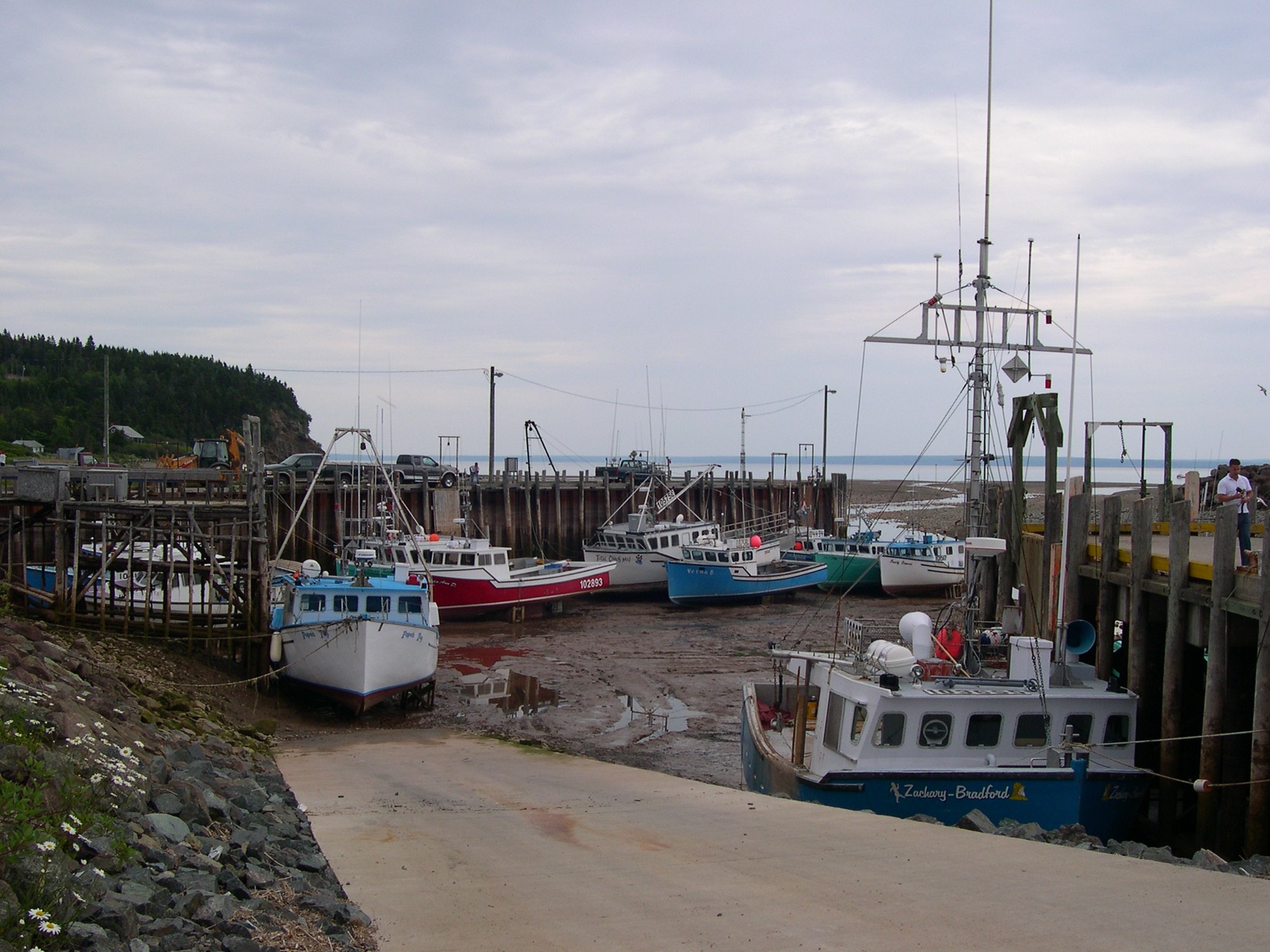
From low to high is roughly six hours, and the water does not rise at a constant rate. It creeps near the turns and moves fastest around mid-tide. That shape matters more than the time on the table, because the two hours either side of a turn are two very different fisheries.
Slack low. The shallowest, clearest water of the cycle. Bait that drained off the flat is concentrated in the channel, and fish are often sitting deep and close to structure rather than chasing. It is the best hour to walk the mark and read where the channels run; it is not automatically the best hour to cast.
First push of the flood. New water reaches structure that has been dry for hours: the base of a rock, the lip of a flat, the inside of a bar. Predators that have been waiting at the edge move onto it, and the current is usually clean enough to carry a scent trail without ripping a bait off its lie. This is the window most experienced shore anglers plan around.
Mid-flood. Maximum flow. Bait is being swept rather than held, and fish tuck into the lee of anything that breaks the stream. Fishing the middle of the fast water is usually a waste. Fish the seams at its edges and the slack behind structure.
High-water slack. The hour most people book, and often the weakest of the day. The current dies, scent stops travelling, bait spreads out over the flat, and fish reposition. It can still be excellent over reef and weed that only uncovers at the top of the tide, but that is a specific mark, not a general rule.
First of the ebb. Water starts draining off the flats and funnels back through the same channels that flooded them. Bait is flushed past known ambush points instead of spreading over open ground, which is why the ebb is often the better half on shallow bays. On an open beach it also tends to be the cleaner water.
Mid to late ebb. The drain runs along the bottom, and fish often sit lower and further out than they did at high water. On an estuary this is also when the water can turn dirty and fresh. Read colour and salinity, not the clock.
Where the current meets the ground
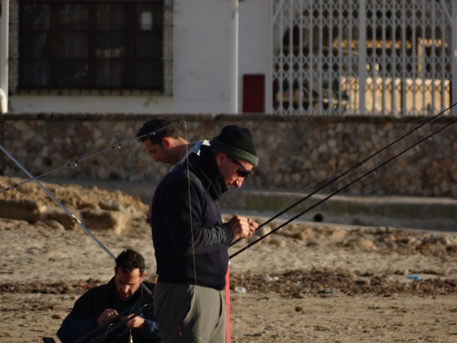
Current on its own is not structure. The fishing is in the transitions: fast water against slow, deep against shallow, hard against soft. Four shapes do most of the work.
Headlands. A point squeezes the stream, so it accelerates around the tip and often sheds a back eddy on the lee side. Bait swept past the point stalls in that slack and predators sit under it. The eddy is small, so you need to put a bait within a couple of metres of the edge, not somewhere off the point.
Inlets and jetties. An inlet is a funnel: the same volume passes through a narrower gap, so the current runs harder than on the open beach, and the tips and eddies matter more than the middle of the channel. Jetties and piers also build their own scour holes and slack corners, which is why they hold fish on both tides.
Sandbar rips. Water piled between the beach and the bar escapes through the lowest point in the bar as a narrow, fast return. NOAA describes these rip currents as generally less than 25 metres wide, typically running at 1 to 2 feet per second but measured up to 8, forming around low spots, breaks in sandbars, jetties and piers. They are not tides, and NOAA is explicit that a rip current is not a rip tide, but for an angler they are a conveyor that pulls bait offshore, with fish holding on the edges.
Longshore drift. Waves arriving at an angle push water along the beach, and that current moves sand and bait with it. It scallops the shoreline, builds bars, and stacks food at the down-drift end of a beach. Reading which way it runs tells you which end of the beach to fish when the tide itself is doing very little.
Fish the layer the current is using
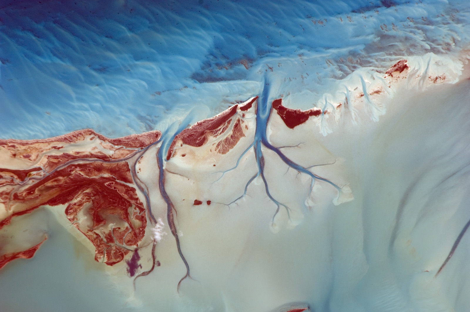
When the flow changes, the productive depth changes with it. The rule of thumb is simple: fish the layer where the water is slower than the water around it. That is where a fish can hold position without burning energy, and where a bait behaves predictably.
On the flood over a shallow flat, bait is pushed up and forward. A lightly weighted soft plastic, or a bait fished just under the surface, often beats a lead on the bottom, because the fish are looking up and ahead. On the ebb off a beach the drain runs along the seabed. The fish are usually lower and further out, and a heavier lead with a longer cast does the work.
At full flow, resist the middle of the channel. Fish the bottom of the fast lane where it meets the slower water, the back of a rock, the inside of an eddy. If you are not sure where the seam is, watch a floating leaf, a patch of foam or a line of weed. It will trace the edge for you in seconds.
On rock marks the tide adds a vertical dimension: weed that stands up at low water lies flat at high water, so the same ledge offers a different profile three hours later. A bait that was snag-proof at low can be buried in weed at high, and the other way round.
Build a two-hour window you can actually fish
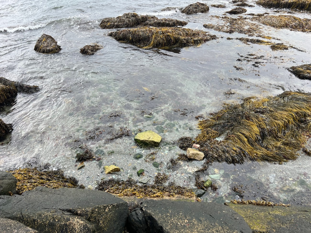
You do not need a whole tide. You need two hours in the right place. Build the window in this order.
Range. Write down high, low and the difference. If the range is small, expect weak flow and plan to fish structure rather than open water. If it is large, plan your access and exit before anything else.
Stage. Pick the first push of the flood or the first of the ebb, unless your mark is specifically a high-water reef or a low-water channel.
Station, then lag. Note the reference station your table or app uses, then correct it to your mark. This is the step most people skip, and the one that matters most in an estuary.
Water, not just tide. Check wind direction and pressure as well as the table. NOAA points out that strong offshore wind exaggerates a low while onshore wind can erase it, and that high pressure depresses sea level while low pressure raises it. A predicted low can be a dry flat or a knee-deep wade depending on the previous twelve hours of weather.
Light and access. Tide and dawn are independent variables. A perfect tide at 2 a.m. on a mark you cannot safely reach is not a window. Match the stage to the light you can fish and the exit you can walk.
Local correction: estuaries, bays and inlets keep their own time
The tide is a wave, and waves take time to travel. That single fact explains most of the difference between the table and what you see at the water.
NOAA's tides and currents FAQ sets out three behaviours. In a progressive wave, typical at the ocean entrance to a bay or harbour, the current peaks near high and low water and goes slack between them. In a standing wave, typical at the head of a large bay, the current goes slack near high and low water and peaks in between. The third, a hydraulic current, is driven by the height difference between two connected water bodies, and shows up at canals and some inlets.
The practical consequence: at an inlet mouth the current can still be running hard when the water stops rising, and up the estuary the current can turn before the tide outside does. You cannot read a current off a tide table. Where NOAA publishes current predictions for your inlet, use them. Where it does not, learn the lag at your mark and write it down.
Texas shows how far local conditions can move the numbers. TPWD describes the coast as mixed tides with a range from a few inches to a couple of feet, and its bays as shallow basins fed by rivers and connected to the Gulf through passes. Small range, big flat, strong wind influence, and a lag that changes from pass to bay. NOAA adds that some inland bays behind inlets are classified as non-tidal, and that strong river flow in estuaries such as the Delaware and Columbia can mask the incoming tide altogether.
So treat the nearest standard port as a starting point. The useful local numbers are how long after official high the current actually stops at your inlet, how long before official low your flat starts to drain, and how much wind it takes to push water onto or off your mark. Three numbers, learned once, improve every session after.
Safety: the tide is a machine, not a schedule
Most tide incidents are not swimmers caught by a rising tide on open sand. They are people cut off by water arriving behind them, in a channel they did not notice, on ground they crossed an hour earlier.
The RNLI station at Wells-next-the-Sea tells visitors to be back on dry sand at least four hours before high water, because the creeks and drains behind the beach fill before the beach itself is covered. That margin is worth copying anywhere with a wide flat. Work backwards from high water, not forwards from where you are standing.
Spring tides change the mark, not just the height. A ledge you waded at neap can be waist-deep at spring; a channel you crossed at low water can be a river two hours later. Spring currents at an inlet are stronger for the same reason the range is bigger, and wind against tide at an inlet is where the steepest, most dangerous water shows up.
Rip currents deserve their own warning. NOAA measures typical speeds of 1 to 2 feet per second, with some at 8 feet per second, faster than an Olympic swimmer, and the escape is to swim parallel to the shore, not against the flow. If you are fishing a bar at low water, know which way the rip is running before you wade out.
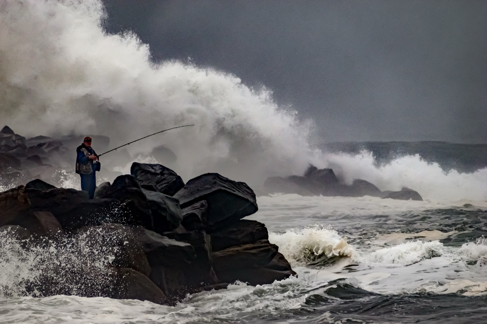
On rock platforms, fish the falling tide with an escape route above the high-water line rather than the rising tide with your back to a cliff. Carry a light, tell someone where you are, and give a spring high water more respect than a neap one. The fish will still be there tomorrow.
Keep a local tide log
A tide table is a prediction for a station. A log is a measurement at your mark. Write four things after every session: the predicted range, the stage when the first fish came, the water colour, and where that fish was sitting relative to the current edge.
Ten sessions on the same mark will tell you more about your local lag and your best stage than any generic rule, including this one. Tides repeat; marks do not.
Two anglers can fish the same tide table and get opposite results, because slack at the inlet mouth and slack at the head of the bay happen hours apart. Find where the water actually stops at your mark before you build the session around a time.
Short version
- Read the range first: it sets how hard the water moves, and a big spring and a small neap are different fisheries.
- Fish the first push of the flood and the first of the ebb. High-water slack is usually the weakest hour, not the best.
- Inlets run hardest and turn later than the open beach, so correct the station time to your mark.
- Fish the slow layer beside the fast water: the lee of a point, the edge of a drain, the bottom of a channel.
- On a spring tide, plan the exit before the cast.
Common questions
Do fish feed best at high tide?
Is a spring tide better than a neap?
How long does slack water last?
Why is the tide later at my beach than the app?
Can a tide table tell me if a sandbar is safe to cross?
Sources
- What are tides? — NOAA National Ocean Service · T1
- What are spring and neap tides? — NOAA National Ocean Service · T1
- Frequency of Tides: The Lunar Day — NOAA National Ocean Service Education · T1
- Types and Causes of Tidal Cycles — NOAA National Ocean Service Education · T1
- What Affects Tides in Addition to the Sun and Moon? — NOAA National Ocean Service Education · T1
- Frequently Asked Questions: tides and tidal currents — NOAA Tides and Currents · T1
- Tidal Currents 1 — NOAA National Ocean Service Education · T1
- What is a rip current? — NOAA National Ocean Service · T1
- Rip Currents (Currents tutorial) — NOAA National Ocean Service Education · T1
- Longshore Currents — NOAA National Ocean Service Education · T1
- Bays and Estuaries, Chapter 11 — Texas Parks and Wildlife Department · T1
- Tides (Young Naturalist) — Texas Parks and Wildlife Department · T1
- Wells RNLI rescues seven people cut off by tide near harbour entrance — Royal National Lifeboat Institution · T1