
Horse-eye jack
Horse-eye jack is a carangid of the western Atlantic, from New Jersey and Bermuda through the Gulf of Mexico to São Paulo. It ranges from the surface to 140 m, reaches 101 cm and 13.4 kg, and feeds on fish. Its season runs February to August.
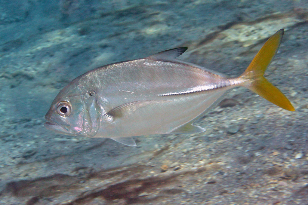
Horse-eye jack (Caranx latus) is a fish of the family Carangidae. FishBase gives its range as: Western Atlantic: New Jersey (USA), Bermuda, and northern Gulf of Mexico to São Paulo, Brazil. Eastern Atlantic: St. Paul's Rocks, Ascension Island, and two confirmed records from the Gulf of Guinea. It is recorded from 0 to 140 m, in subtropical water. The recorded maxima are 101 cm FL, 13.4 kg. Diet includes fishes. IUCN status: Least Concern (LC). Chinese name: .
Three salinities in one line
FishBase describes the species as marine, freshwater and brackish, and adds the term "oceano-estuarine". The three words do not mean the fish is equally at home everywhere. The same page puts adults in coastal waters and offshore reefs and juveniles on sandy beaches and muddy bottoms, and says the species may enter brackish water and ascend rivers. Read together, the line describes a movement pattern: the offshore reef is the adult end, the beach and the estuary are the juvenile end, and the river is the far freshwater edge.
The word "oceano-estuarine" is the key. It is not "catadromous" or "anadromous"; the page does not claim a mandatory breeding migration between fresh and salt water. Reading the three habitat words as a promise of river fish everywhere is the common mistake.
What "ascend rivers" does and does not say
The page says the species may ascend rivers, but gives no distance, no salinity threshold and no upper limit. That is a real blank, and it should not be filled with a guess. The safe reading is the one the page supports: the fish can be found past the river mouth, in the brackish reach, and the further upstream you go the less the record guarantees.
For fishing, the blank translates into a search order rather than a destination. Start at the mouth and the first bend where salt and fresh water mix; work upstream only while the water still carries the structure the fish uses. The page gives no evidence for a particular kilometre mark, so a plan that names one is inventing data.
The 0–20 m band
The depth range is 0–140 m, with 0–20 m marked as the usual band. The 140 m is a ceiling, not a working depth. That top 20 m matches the habitat text: coastal waters, offshore reefs, sandy beaches and muddy bottoms. For a fish that also enters estuaries, the shallow band is the part of the gradient where all three habitats overlap.
The band also explains why the fish is accessible from shore. A 20 m working depth is within casting range at many river mouths, jetties and reef edges, and the 140 m figure does not change that. The distinction is the same one that separates a rock from a drop-off: the page lists the outer limit because a record exists, not because the limit is the target.
Two spawning records, two hemispheres
The spawning table has two entries: Ceará, Brazil, in February–March, and Cuba in June–August. Those are not two peaks of one season. Ceará is just south of the equator; Cuba is in the northern subtropics. The months do not line up, which is what the geography predicts; the page keeps them as separate entries instead of folding them into one "spring" or "summer" spawn.
For a trip plan, the two records are a reminder that the species' range crosses the equator. A boat working the Caribbean in June–August and a boat working northeast Brazil in February–March are both inside the recorded window, and neither date can be carried across the Atlantic as a rule.
Reading the fish at the gradient
The identification notes are unusually specific for a jack: the chest is fully scaled, there are no spots on the pectoral fins, the scutes are dusky, and the caudal fin is yellow. Juveniles carry dark bars. Those marks matter at the estuary end, where several carangids overlap and where a misidentified catch is easy.
The alias list is longer than the diagnostic list: black jack, cabali, false jack, gallego, horse eye, horse-eye crevalle, horse-eye trevally and yellowjack all appear. Several of them also label other species in the family, so a local report that says "yellowjack" may not be this fish. The chest scales and the unspotted pectoral fin are the parts to check before trusting the name.
Ciguatera at the reef end
The page records ciguatera poisoning, a reef-food-chain risk, and it sits at the adult end of the gradient, where the fish feeds on fishes rather than the shrimps and small invertebrates taken by juveniles. The risk is not a reason to avoid the species everywhere; it is a reason to treat the reef-caught, larger fish differently from the estuary-caught small fish.
The page gives no size threshold and no regional breakdown; the risk is recorded for the species, associated with reef feeding, and not quantified by size or place.
Where the records put the gradient
The occurrence data is concentrated in the western Atlantic, which matches the distribution text: New Jersey and Bermuda south to São Paulo, plus St. Paul's Rocks, Ascension and two confirmed Gulf of Guinea records. GBIF returns 4,416 present records, with 992 from Brazil, 837 from the United States, 305 from Mexico, 251 from French Guiana, 198 from Guadeloupe, 183 from Belize, 176 from the Virgin Islands and 163 from Puerto Rico. The Brazilian and US totals dominate; the eastern Atlantic is a handful of confirmed records, not a second center.
iNaturalist adds 1,806 observations, a much larger photo layer than the billfish pages carry. That fits a shallow, accessible, frequently photographed jack. It also means the observation map is biased toward shore access and clear water, not toward the offshore reef end of the gradient.
The 37 cm maturity line
The length and weight figures read 101 cm FL maximum, 60 cm TL common, 13.4 kg heaviest published, with maturity at 37 cm. There is no age figure. The 37 cm maturity point is the one number that connects the gradient to a keep decision: a fish at the estuary end can be mature at a length that looks small next to the 101 cm record.
The 13.4 kg weight belongs to the 101 cm record, not to the 60 cm common fish. The practical reading matches the maturity line: the 60 cm class is the realistic encounter, and the 37 cm point is the biological floor, not a target.
The distribution also has a taxonomic tail. WoRMS accepts Caranx latus Agassiz, 1831, and lists Carangus aureus, Caranx fallax, Caranx lepturus, Caranx richardi and Xurel lata as unaccepted. A record filed under one of those names is invisible to a search on the current combination — one more reason to check the synonym list before deciding that a region has no records.
Where these facts come from
Check these pages before you rely on a size, range or protection status.
- FishBase — Caranx latus — FishBase · T2
- GBIF — Caranx latus occurrence records — GBIF · T2
- IUCN Red List — Caranx latus — IUCN · T1
- Photo record — iNaturalist — iNaturalist · T3
Fish in the same water
These fish live in the same place.
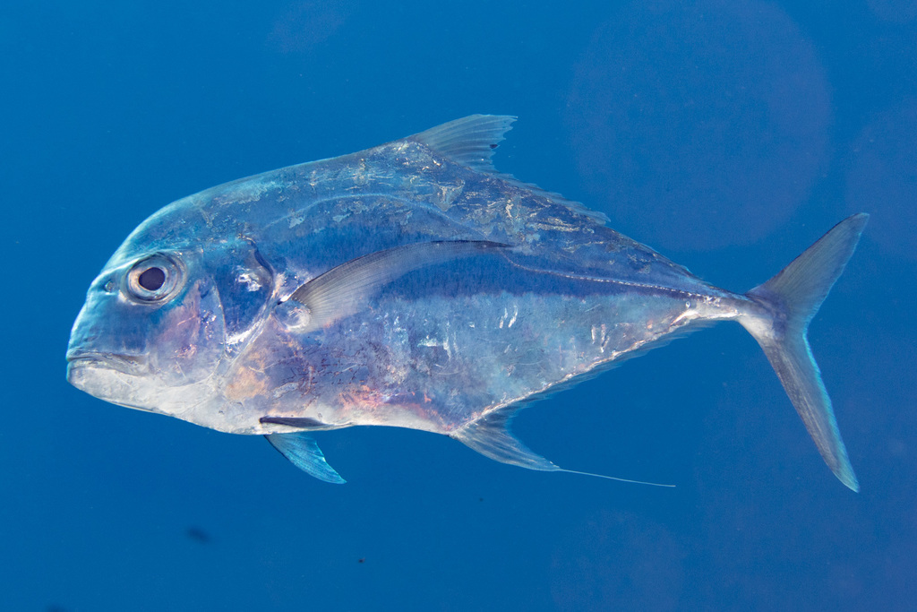
African pompano
- Family
- Carangidae
- Depth
- 60–100 m
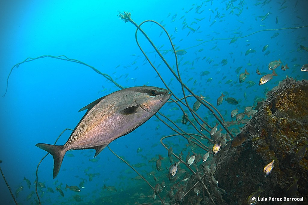
Almaco jack
- Family
- Carangidae
- Depth
- 5–245 m
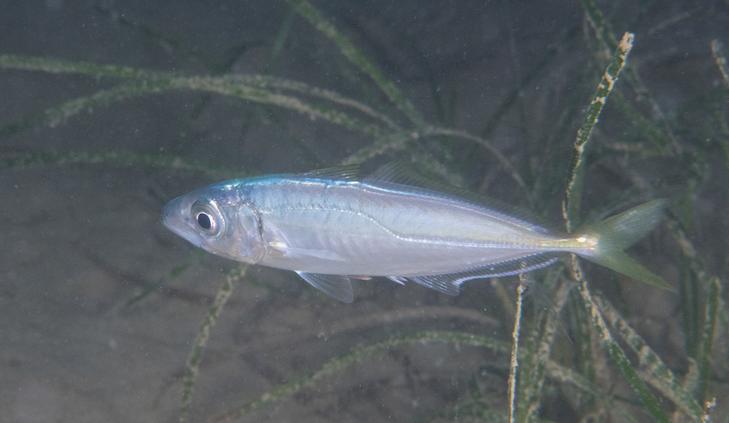
Atlantic horse mackerel
- Family
- Carangidae
- Depth
- 0–1050 m
- Season
- Jan, Feb, Mar, Apr, May, Jun, Jul, Aug, Sep, Oct, Nov, Dec
Guides for this water
Technique, gear and safety guides that fit Horse-eye jack.