
Blunt-snouted mullet
Red mullet is the wrong fish to look for in an estuary. FishBase marks it marine, not brackish and not freshwater, and yet its range includes the Black Sea. The useful question is therefore not "which part of the river holds fish" but "where the salt end of the gradient begins to feel like a sea".
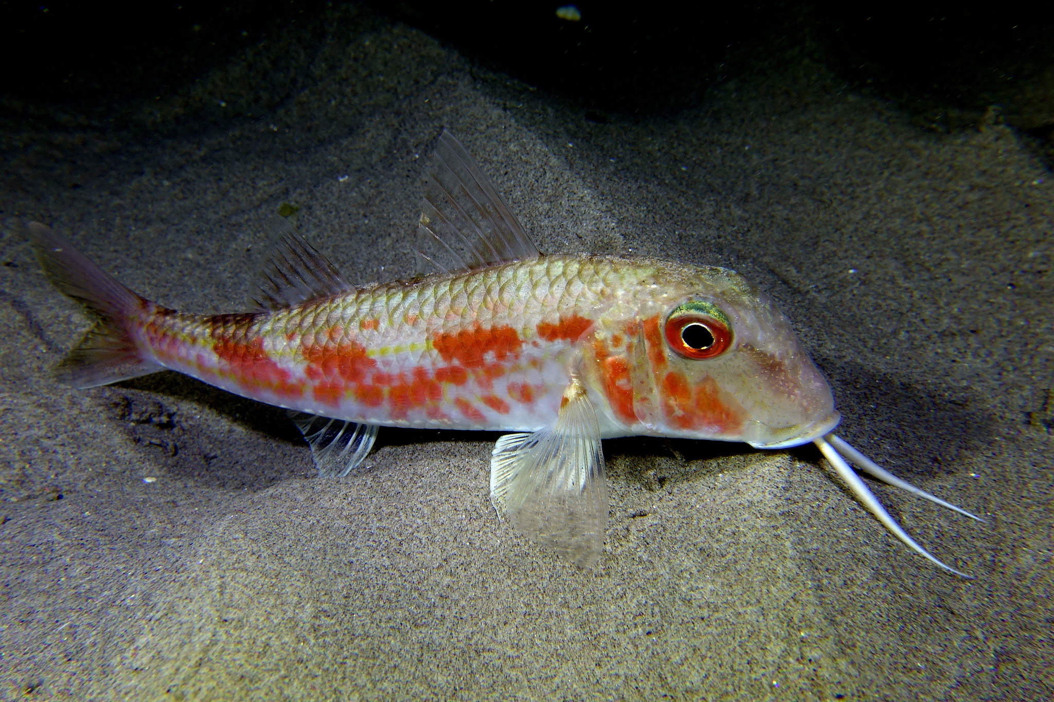
Red mullet is the wrong fish to look for in an estuary. FishBase marks it marine, not brackish and not freshwater, and yet its range includes the Black Sea. The useful question is therefore not "which part of the river holds fish" but "where the salt end of the gradient begins to feel like a sea".
The gradient this fish refuses
The environment line is unusually clear: marine true, brackish false, freshwater false. That is a hard statement about the species, and it sets the first limit on a salinity argument. Red mullet is not a fish that moves up a river on the tide, and it is not a fish that tolerates fresh water.
The Black Sea entry complicates the label without overturning it. Wikipedia places the species in the Mediterranean, the Sea of Marmara and the Black Sea, as well as the eastern North Atlantic from Scandinavia to Senegal. A sea with a lower surface salinity is still a sea; it is not an estuary. The page does not publish a salinity tolerance, so the boundary cannot be converted into a number. What can be said is that the fish is recorded at the brackish edge of its range, and that the edge is a large basin rather than a river mouth.
iNaturalist's 1,065 observations confirm that recreational encounters are common enough to be logged, but they carry no effort data, so they cannot rank one bay above another.
10–328 metres, and the 100–300 band
FishBase places the species between 10 and 328 m and narrows the ordinary range to 100–300 m. The two numbers describe different things. The 328 m figure is the deepest record; most captures fall inside the 100–300 m interval. A boat working 20–40 m is inside the documented envelope but outside the usual band.
That distinction matters on a salinity page. The shallow end of the range overlaps coastal water, where salinity can fluctuate; the usual band lies further offshore, where the water column is more stable. Nothing on the page shows the fish following salinity, but the depth distribution is consistent with an animal that stays in the marine layer rather than riding the surface plume.
The Black Sea is the brackish edge
The distribution text runs from Scotland and Norway south to Senegal, including the Azores, Madeira and Cape Verde, and east to Turkey and Georgia. The country table adds the Mediterranean states and the Black Sea states. Wikipedia names the Sea of Marmara explicitly.
GBIF's distribution statement names the Black Sea, European marine waters, Greek waters, the Israeli sector of the eastern Mediterranean and the Doñana Biosphere Reserve in Spain. The list is short because it is a distribution statement, not an occurrence dump. Its value here is that the Black Sea row survives the same endpoint that lists the Mediterranean rows.
For an angler, the practical result is a range with one brackish corner. The species is present in the Black Sea, but the source does not record how far into low salinity it penetrates. Do not treat the Black Sea label as a licence to fish the upper reaches of its rivers.
Spawning from February to October
The spawning table marks February through October. The regional rows are more useful than the union. Croatia records May–June in the Adriatic. Greece records April–October in the Aegean. Spain records April–June in the Alboran Sea. Egypt records February–June at Izbet El-Borg. Italy records May–June in the southern Adriatic and May–July in the Tuscan Sea. A further row covers April–August in the North Sea and the Mediterranean.
Those windows do not align. The Aegean row is the longest, the Egyptian row starts earliest, and the Italian rows sit in late spring. A single February–October season is an average over very different regional calendars, and a local trip should use the local row.
38.2 cm maximum, 20 cm common, 680 g
Maximum length is 38.2 cm TL, common length is 20 cm SL, and maximum published weight is 680 g. The release line is around 11.5 cm: the estimate sits there, the published range starts at 10 cm, and the upper end is open. Only below 10 cm does the page clearly place a red mullet below maturity; above that, the biological line and the market line diverge, and the legal minimum for the area decides what can be kept.
The size structure is compressed. A 38 cm red mullet is a large specimen; the common fish is roughly half that length, and the maturity length is smaller again. This is a small-bodied species by the standards of the shelf, which is why the commercial fishery is built on many small fish rather than a few large ones.
Sand and mud on the continental shelf
Red mullet works soft shelf ground and feeds on small benthic animals rather than chasing fish in the water column. For a bait angler, that means the hook belongs near the bottom, and the ground should be sand or mud rather than rock.
The page does not give a substrate preference between sand and mud. Both are listed, and the distribution table does not resolve which dominates. For a bait angler, that means the bottom type is a search variable, not a fixed answer: sand and mud are both plausible, and the edge between them is a reasonable place to start.
Trawled, well regarded, Least Concern
FishBase records commercial landings and a gamefish use. Wikipedia adds that trawling supplies most of the catch and that the flesh is well regarded. The Red List status is LC, last assessed 14 July 2014. No CITES or CMS assessment exists. FishBase lists the species as harmless.
The combination is familiar on European shelves: a small, commercial, trawl-caught fish that is also a legitimate rod-and-line target. Least Concern is a population assessment, not a statement that every local stock is healthy, and the page gives no stock-level data.
Fishing the salt end
Work the 100–300 m usual band before the shallow edge. The 10 m record is real, but it is not where the species is usually found. On a boat, that means a deeper drift than a typical coastal trip, with enough lead to hold bottom in the deeper water.
Do not plan the trip around an estuary. The source says marine, not brackish; the Black Sea is the only brackish corner in the range, and the page gives no salinity limit inside it. If the sounder shows a soft shelf bottom in the usual band, the depth and substrate are both consistent with the species. If the trace shows a river plume, nothing in the record predicts red mullet there.
Where these facts come from
Check these pages before you rely on a size, range or protection status.
- FishBase — Mullus barbatus — FishBase · T2
- GBIF — Mullus barbatus occurrence records — GBIF · T2
- IUCN Red List — Mullus barbatus — IUCN · T1
- Photo record — iNaturalist — iNaturalist · T3
Fish in the same water
These fish live in the same place.
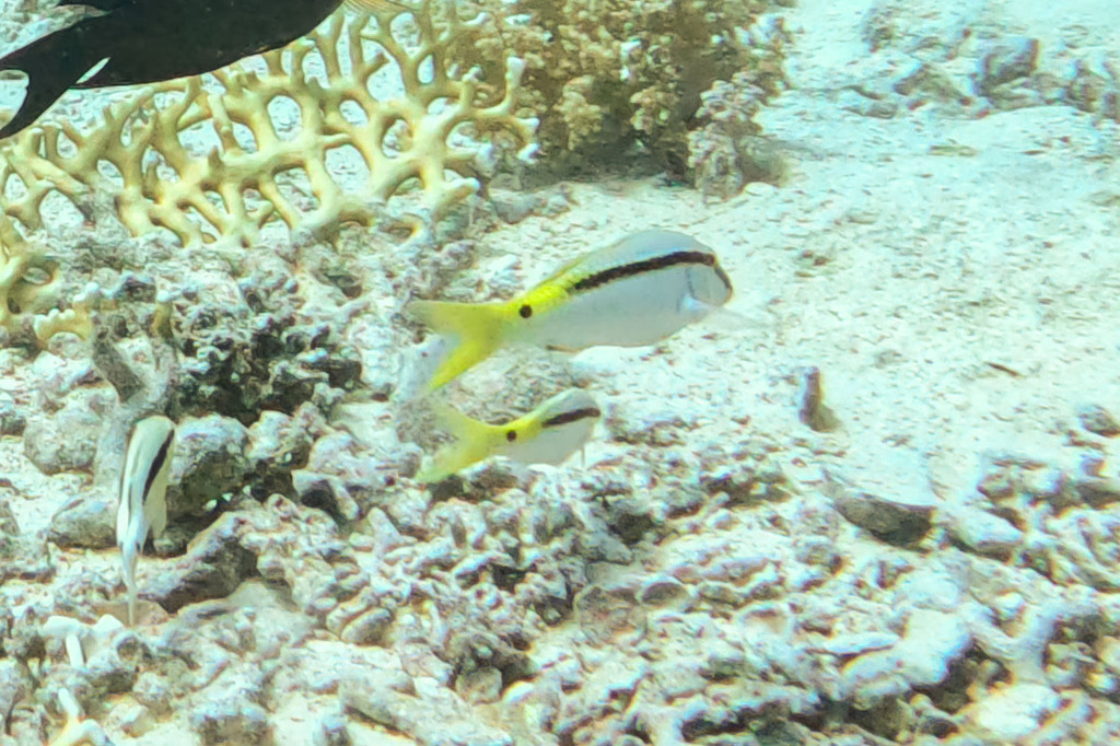
Forsskål's goatfish
- Family
- Mullidae
- Depth
- 1–45 m

Manybar goatfish
- Family
- Mullidae
- Depth
- 0–161 m
- Season
- Jan, Feb, Mar, Apr, May, Jun, Jul, Aug, Sep, Oct, Nov, Dec
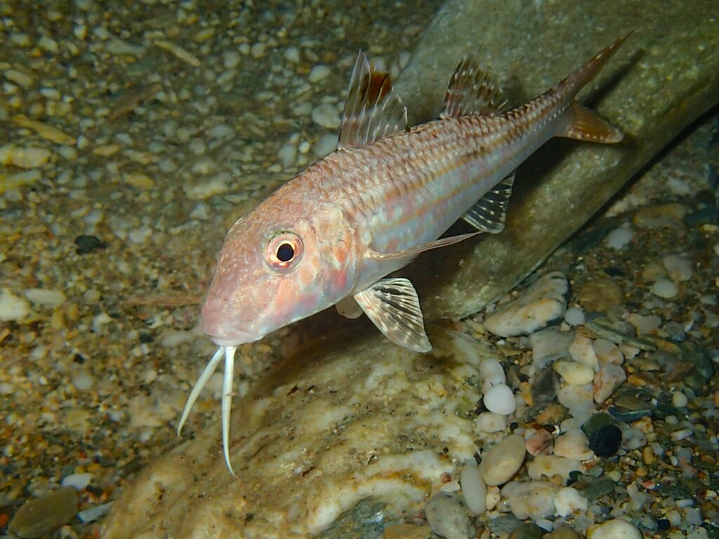
Red mullet
- Family
- Mullidae
- Depth
- 5–409 m
- Season
- Jan, Mar, Apr, May, Jun, Jul, Aug, Sep, Oct, Nov, Dec
Guides for this water
Technique, gear and safety guides that fit Blunt-snouted mullet.