
Pharaoh cuttlefish
The size block gives 43.0 cm of mantle length in the male and unsexed entry, 5.0 kg as the maximum published weight, and 0–130 m as the full depth range. Those three numbers are easy to quote and almost useless on their own. A cuttlefish does not patrol a depth column; it works a substrate.
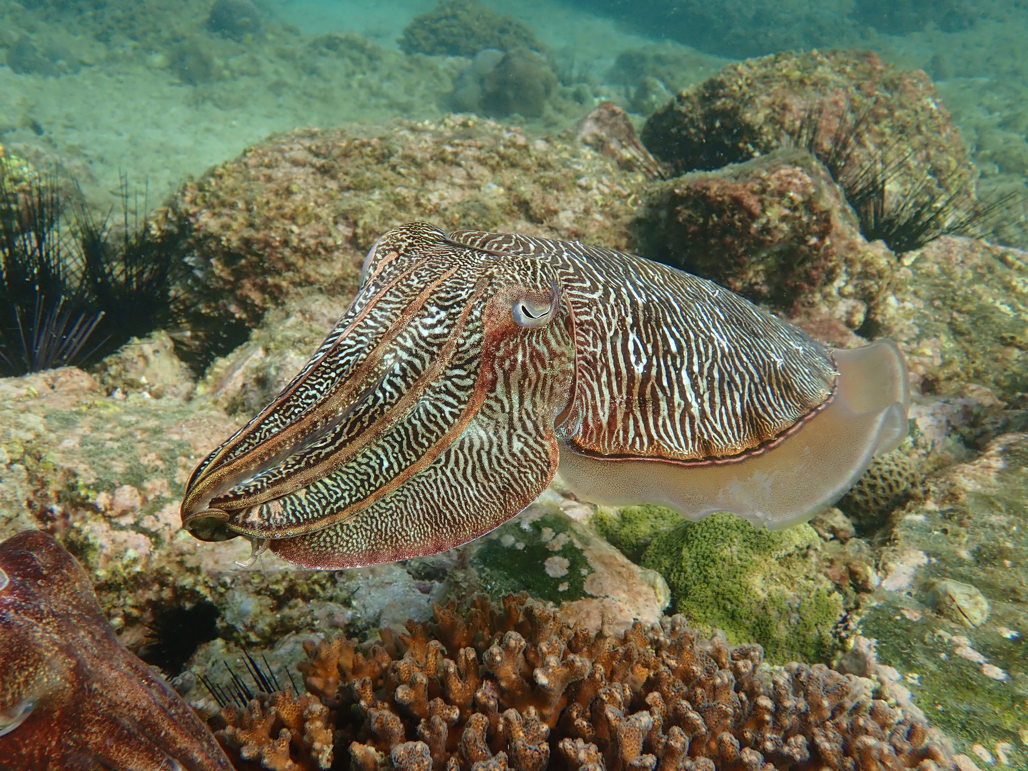
The size block gives 43.0 cm of mantle length in the male and unsexed entry, 5.0 kg as the maximum published weight, and 0–130 m as the full depth range. Those three numbers are easy to quote and almost useless on their own. A cuttlefish does not patrol a depth column; it works a substrate. The practical question is not "how deep is the species" but "which substrate edge is the animal sitting on", and the source does give three terrain words that answer it. WoRMS still carries Sepia pharaonis, but as a superseded combination, with Acanthosepion pharaonis as the accepted name; a search on the older name lands on the synonym record.
The line to work, not the patch to work
The recorded fishing terrain is sandy bottom, coastal and seagrass. Read those as a boundary rather than three separate marks. Sand and seagrass meet along a seam; the coastal qualifier says that seam is the one inside the shelf, not an offshore drop. An ambush predator that relies on concealment has no reason to sit in the middle of a featureless sand plain, where a moving lure can be seen from a long way off. It has a reason to sit where one substrate ends and another begins. That is the line a jig or a baited rig should cross, not the open patch in the middle.
A mark that looks perfect on a depth contour can still fish badly, because the record gives a relationship between two bottoms, not a position.
What the 0–130 m line actually places
On the environment line the envelope is 0–130 m, with ?–40 m given as the usual band. Read it literally: 0 is a surface record, 130 m is a maximum, and the usual band has a missing shallow bound, not a zero.
The usual band matters because it is the only portion of that line describing ordinary occupation. The page can tell you that the animal is usually found no deeper than 40 m. It cannot tell you how shallow "usually" starts. Replacing the question mark with 0 would invent a number; treating the 130 m maximum as an everyday depth would invert the sentence. On the water, work at or above the 40 m ceiling first, and treat deeper marks as range extensions, not as the default plan.
Three terrain words are one edge
Sandy, coastal, seagrass. Coastal is the setting; sand and seagrass are the two faces of the edge. The diet record lists crustaceans, fishes and molluscs, which tells you the animal is a generalist predator but not where to put the lure. The terrain words do. If the ground under the boat is clean sand with no vegetation and no adjacent structure, you are standing in the first metre of the habitat, not in the habitat itself.
The drift therefore has to cross the seam, not follow it: parallel drift stays in one substrate, while a crossing run takes the lure from open sand into the grass and back out, which is the sequence an ambusher intercepts. A baited rig belongs near the boundary for the same reason.
A 40 m ceiling beside a 130 m record
The usual band stops at 40 m; the maximum is 130 m. A mark at 60 or 80 m is still the species, but it sits outside the band, and the page gives no density evidence for that zone. One deep capture should not be rewritten as a plan: work the ceiling first, and extend deeper only after the shallow edge has been covered.
43 cm, 33 cm, 5 kg
The size record is more specific than a single maximum. The male and unsexed entry shows 43.0 cm ML; the female entry, 33 cm ML. The weight entry is 5.0 kg, labelled a maximum published weight, and no typical weight sits beside it. The maturity entry reads 12.2 cm, spanning 5–24 cm. ML means mantle length, not total length. It excludes the arms and tentacles, so it is not comparable with a fish's total length or with a squid measurement taken from the tail fin to the arm tips.
The two sources also disagree slightly on the maximum. SeaLifeBase records 43.0 cm ML; the Wikipedia extract records 42 cm ML. The difference is one centimetre and the correct treatment is to report both, not to split it. A 42 cm figure and a 43 cm figure are two published values, not a measurement with an error bar. The 5.0 kg maximum is consistent across the two extracts, but it is still a maximum published weight, not a typical weight.
Data deficient is a label, not a density
IUCN filed the species as Data Deficient in March 2009. That label is not a synonym for rare; in practice it means the assessors lacked the evidence to assign a threat category. At the same time, the human-use record lists commercial fisheries, commercial aquaculture and potential aquarium use. A commercially fished animal can carry a Data Deficient label; the two statements describe different things, one the state of the assessment and the other the state of the market.
iNaturalist holds 1,189 observations, which is presence data again, not an abundance estimate. Anyone planning a trip faces a narrow consequence. Data Deficient cannot be used as evidence that the stock is healthy, and it cannot be used as evidence that it is depleted. It is a blank in the assessment, not a zero in the water. Do not convert it into either reassurance or alarm.
Twelve months is a compilation, not a local season
The spawning table marks all twelve months. The records underneath are regional and do not cover the same water. India's Kerala record runs January–February and October–December, Maharashtra adds February, Hong Kong SAR gives April–May and March–May, the Suez/Indian Ocean summary gives March–June, the Gulf of Thailand summary gives January and July, and the general summary gives August–October.
Read together, those records say that spawning has been reported somewhere in the range in every month. They do not say that a single mark has a twelve-month spawn. The nearest record is the only one worth using for a local plan, and even that is a literature record rather than a survey of your bay. The all-year flag is a compilation artefact of a wide range, not a local calendar.
Working the edge
No approved fishing method is recorded, so there is no sanctioned technique to quote. The terrain does support a simple approach: work a jig or a bait close to the sand–seagrass boundary, keep the offering moving across the seam rather than dragging through the middle of the grass, and accept that a snag usually means the lure has left the edge. A slow drift across the boundary covers more useful ground than a fast retrieve along it.
At night the edge is still the edge; the substrate does not move, even though the light does. Tentacles tear easily, so the leader needs enough power to turn the animal; check local seasons, size limits and gear before you keep one. Of the page's contents, the three terrain words survive contact with water; the depth maximum belongs in a record book.
Where these facts come from
Check these pages before you rely on a size, range or protection status.
- FishBase — Sepia pharaonis — FishBase · T2
- GBIF — Sepia pharaonis occurrence records — GBIF · T2
- IUCN Red List — Sepia pharaonis — IUCN · T1
- Photo record — iNaturalist — iNaturalist · T3
Fish in the same water
These fish live in the same place.

Common cuttlefish
- Family
- Sepiidae
- Depth
- 0–242 m
- Season
- Jan, Feb, Mar, Apr, May, Jun, Jul, Aug, Sep, Oct, Nov, Dec
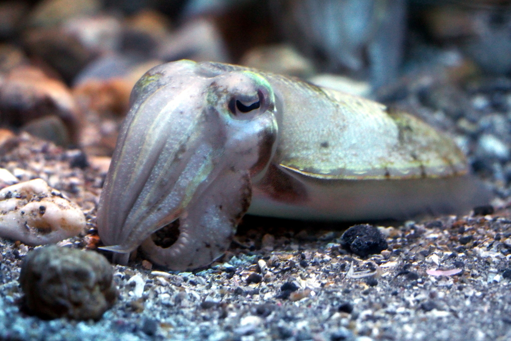
Golden cuttlefish
- Family
- Sepiidae
- Depth
- 10–150 m
- Season
- Feb, Mar, Apr, May, Jun
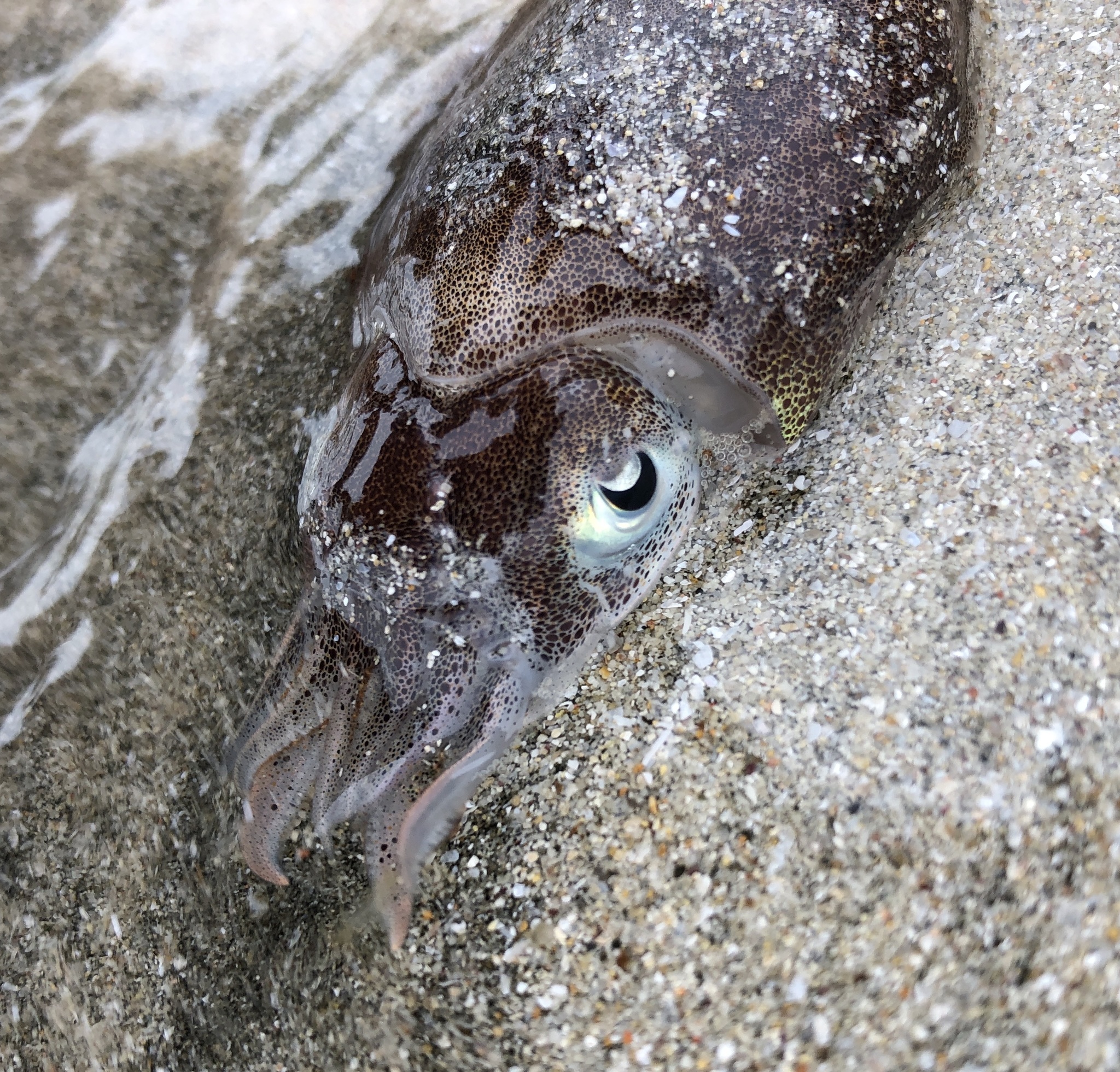
Japanese spineless cuttlefish
- Family
- Sepiidae
- Depth
- 0–50 m
- Season
- Feb, Mar
Guides for this water
Technique, gear and safety guides that fit Pharaoh cuttlefish.