
Florida pompano
Florida pompano is a carangid of the western Atlantic, from Massachusetts through the Gulf of Mexico and scattered West Indian localities to Brazil. It lives from 1 to 70 m in subtropical water, reaches 64 cm TL and 3.8 kg, can live seven years, and feeds on crustaceans and fish.
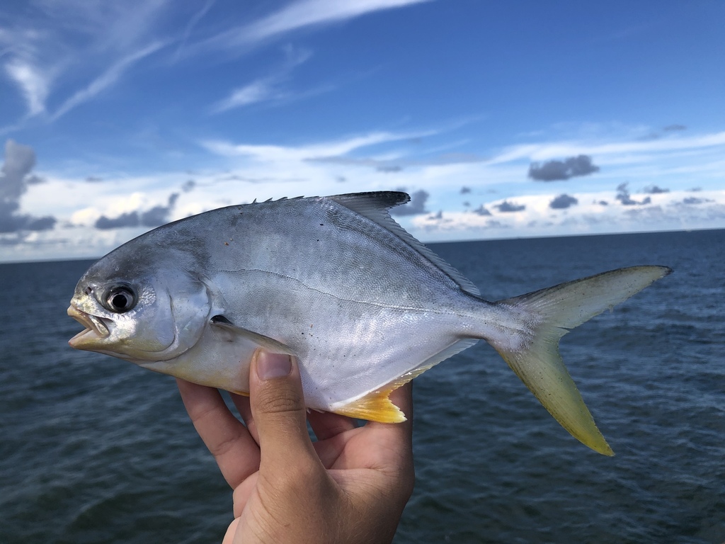
Florida pompano (Trachinotus carolinus) is a fish of the family Carangidae. FishBase gives its range as: Western Atlantic: Massachusetts, USA through the Gulf of Mexico and scattered localities in the West Indies to Brazil. Also found in Argentina. It is recorded from 1 to 70 m, in subtropical water. The recorded maxima are 64 cm TL, 3.8 kg, 7 years. Diet includes crustaceans and fishes. IUCN status: Least Concern (LC). Chinese name: .
One range, two lives
FishBase gives the species a depth range of 1–70 m and calls it benthopelagic. Neither a usual depth band nor a temperature window is given, and there is no spawning table. The page does give the life-stage split in the biology text: adults occur in coastal waters and commonly enter bays and estuaries, while juveniles are found on sandy beaches exposed to wave action.
Put the two statements together and the band divides. Grown fish sit in the bays, estuaries and coastal water; young fish sit in the surf zone at the very bottom of the depth range. The 70 m ceiling is not where either stage lives in numbers; it is the deepest record. The useful band is the shallow end, and within that band the stage of the fish decides the exact position.
The one-metre line
A minimum depth of 1 m is unusually precise for a fish page, and it matches the juvenile description. A sandy beach exposed to wave action is a habitat measured in metres, not in tens of metres: the trough behind the first bar, the cut where water drains off the beach, the edge where the sand stops and the deeper channel begins. The page does not map those features, only the zone.
For a shore angler, the one-metre line is therefore a starting instruction rather than a limit. The fish is not out at 70 m; it is in the part of the beach profile that the waves rework. The page gives no further substrate detail, so no preferred sand grain or tide stage is supplied here.
Bays and estuaries
The adult end is the coastal bay and estuary. The environment line adds brackish water, which fits the estuary entry, and the biology text says adults commonly enter bays and estuaries. This is not a fish that only visits the estuary as a stray; the estuary is part of the adult range.
The two-stage pattern is the whole depth story. A boat fishing the bay is fishing the adult band; a shore angler fishing the surf is fishing the juvenile band. The same species, the same 1–70 m range, two different positions inside it. A plan that treats the bay and the beach as interchangeable is ignoring the life-stage split the page records.
Why the clear islands are blank
The distribution text runs from Massachusetts south through the Gulf to scattered West Indies localities and Brazil, with Argentina added, and then states that the species is absent from clear waters of the Bahamas and similar islands. That is a habitat exclusion, not a sampling gap: the page is saying the fish is not there, not that nobody looked.
The exclusion points to the water type rather than to latitude. The Bahamas are inside the latitudinal range but outside the turbid, mainland-influenced coastal water the species uses. A Caribbean map will overstate the range; the page removes the clear coralline islands from it.
What the page does not say about the beach
The morphology section is blank: no fin formula, no body-shape measurement beyond "short and/or deep", no cross-section. The page also gives no beach-profile data, no tide preference and no water-clarity figure. A wave-exposed sandy shore has a slope, a tide range and a clarity, and none of the three is on the page.
What it does support is narrower: juveniles are on wave-exposed sandy beaches, adults are in bays and estuaries, and the species is absent from clear coralline islands. That is enough to choose between a beach and a bay. A tide, a bait and a casting distance stay open choices.
The 40 cm fish and the 64 cm ceiling
The size box gives a 64 cm TL maximum, a 40 cm TL common figure, a maximum published weight of 3.8 kg, a maximum reported age of 7 years, and a maturity range that starts at 25 cm with no Lm point. The 40 cm is the everyday fish and the 64 cm is the ceiling; the 3.8 kg weight belongs to the ceiling.
The 25 cm lower bound is the number that matters for a shore catch. A juvenile in the surf can be below that line, and the page's own life-stage split puts the small fish exactly where the shore angler casts. The 40 cm common length is the adult target; the 64 cm fish is a seven-year-old record, not a routine surf fish.
No spawning table
The spawning section is empty. There is no month, no locality and no temperature for reproduction on the page. A season has to come from somewhere else: an invented spawn date would look like a planning tool and would send a trip at the wrong time.
The absence also limits what can be said about the depth band across the year. Without a spawning season and without a temperature window, there is no source basis for saying the fish moves deeper in winter or shallower in summer. The only seasonal statement the page supports is none. The band is set by life stage, and how it shifts is not stated.
Where the records sit
The occurrence data is heavily American. GBIF returns 4,920 present records, with 3,206 from the United States, 584 from Brazil, 358 from Spain, 189 from an unknown country, 131 from Mexico, 93 from Colombia, 76 from Belize and 11 from Venezuela. The US total dominates, which fits a species whose common name is a US state and whose range text starts in Massachusetts.
iNaturalist adds 2,056 observations, a large photo layer for a shallow, accessible fish. The Spanish total is the odd one: Spain is outside the western Atlantic range in the distribution text. A mislabel, an escape and a record from another basin are the three readings the page leaves open; the Spanish figure is reported without choosing between them.
The taxonomy is short. WoRMS accepts Trachinotus carolinus (Linnaeus, 1766) and does not accept Gasterosteus carolinus or Trachinotus pampanus. A catch logged under either old binomen is not returned by a search on the present one, which is another reason a regional total can look smaller than the fishery.
For a fishing plan, the depth band resolves into two positions: the surf for juveniles and the bay for adults, with the clear coralline islands removed. That is a narrower map than the 1–70 m range suggests, and it is the map the page actually supports.
Where these facts come from
Check these pages before you rely on a size, range or protection status.
- FishBase — Trachinotus carolinus — FishBase · T2
- GBIF — Trachinotus carolinus occurrence records — GBIF · T2
- IUCN Red List — Trachinotus carolinus — IUCN · T1
- Photo record — iNaturalist — iNaturalist · T3
Fish in the same water
These fish live in the same place.
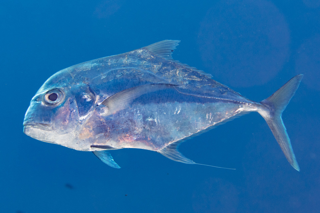
African pompano
- Family
- Carangidae
- Depth
- 60–100 m
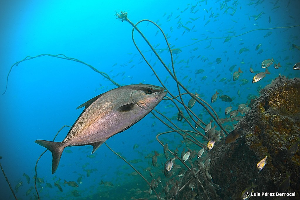
Almaco jack
- Family
- Carangidae
- Depth
- 5–245 m
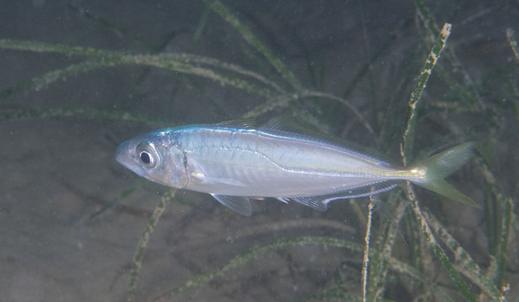
Atlantic horse mackerel
- Family
- Carangidae
- Depth
- 0–1050 m
- Season
- Jan, Feb, Mar, Apr, May, Jun, Jul, Aug, Sep, Oct, Nov, Dec
Guides for this water
Technique, gear and safety guides that fit Florida pompano.