
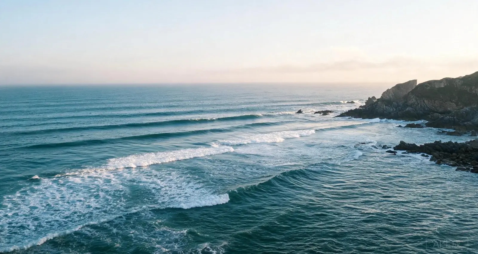
Find the tide stations
near your spot — tide station records for coastal anglers
Pick the station closest to where you fish. Each station page shows today's tide table, the next 15 days, sun and moon times, and a map. Full curves are in the app.
Stations map
Zoom to your coast. Every marker opens its station page: today's tide table, the next 15 days, sun and moon times, and a map of the point.
Country → region



Choose your country, then the region you will fish. Countries with enough stations have their own page. The rest open on the map. Browse all 121 countries →
Common questions
Short answers to the questions this page gets most often.
Where is the tide station for my spot?
Open the station map, choose your country and region, then pick the station closest to where you fish. The page gives you its coordinates and datum.
What is on a station page?
Today's high and low tides, the next 15 days, sunrise and sunset, moonrise and moonset, the station coordinates, and a map.
Where does the tide data come from?
Each station page uses the station's harmonic constants (TPXO10 for the Chinese model, Neaps for the rest) and computes predictions on your device. The station record names the model and datum.
Where do I get the full tide curve?
The SunnyFish app carries the tide curve and the named forecast source. The website shows the table and daily peaks.