
Goldblotch grouper
The environment line calls the fish demersal, the biology says sand, mud or rock bottoms, and the depth field gives 1–300 m, with normal occurrence at 4–160 m. None of these is a mistake; they are statements of different kinds, and the article is about what each one can and cannot tell an angler.

Three labels here disagree. The environment line calls the fish demersal, the biology says sand, mud or rock bottoms, and the depth field gives 1–300 m, with normal occurrence at 4–160 m. None of these is a mistake; they are statements of different kinds, and the article is about what each one can and cannot tell an angler.
Three labels that do not match
"Demersal" describes a position in the water column, not a bottom type. "Sand, mud or rock" describes the bottom. "1–300 m, usually 4–160 m" describes depth, and the two figures are not the same claim: one is the outer record, the other marks the band of normal occurrence. Read together, they say a bottom-hugging fish occupies a wide depth range over three very different grounds. Read separately, each label looks more precise than it is.
Demersal is a wide word
The word demersal covers anything living near the bottom, from a reef face to a mud plain. The biology narrows it: sand, mud or rock bottoms. That list is still three bottoms, and they behave differently under a lead. Rock stops a bait and holds fish; sand and mud accept it and show nothing. The source does not rank the three, so the only safe reading is that the fish is not a water-column species and that the bottom must be found before the bait is placed.
One to three hundred, usually four to one hundred sixty
The outer range is 1–300 m, and the usual range is 4–160 m. The lower end of the usual band starts at 4 m, not 1 m, which means the 1 m figure is an extreme rather than a working depth. The three metres between them are small in distance and large in meaning: 1 m is the surface edge, while 4 m is where a boat or a shore cast can begin to work. The 300 m end lies beyond the usual band, and the page notes that the maximum depth comes from a separate reference. For planning, the 4–160 m band is the one the usual-depth qualifier supports; the 1 and 300 m figures are boundary records.
The 140 is standard length
The maximum length is 140 cm SL. The standard-length tape ends where the caudal fin begins, so the tail is excluded, unlike the TL figures used for many other groupers. Common length, maximum weight and maximum age are all absent. Maturity is 32.5 cm, bounded by 30 and 35 cm. The 140 cm figure therefore cannot be compared directly with a TL record from another species, and it cannot be turned into a weight from this page.
The Madeira record
The distribution text is "Eastern Atlantic and Mediterranean Sea", followed by a note: records of Epinephelus alexandrinus from Madeira are apparently based on misidentifications of Myctoperca fusca. That is a statement about the record, not about the fish: a name attached to Madeira occurrences belongs to another species. It matters when a range map or a country list is used to plan a trip, because a dot on Madeira may not be this grouper at all.
Two lines and a yellow blotch
The description gives 11 dorsal spines, 15–17 dorsal soft rays, three anal spines and eight anal soft rays. The common-name table is short: Goldblotch grouper for Malta and the FAO list, and Golden grouper for the United Kingdom. The head and body are brownish with darker fins, two dark lines run across the head, and a distinct yellow blotch sits below the spinous dorsal fin; adults are brown or greyish brown. The body depth is less than the head length, contained 3.0–3.4 times in SL. The yellow blotch is the field mark; the two head lines separate it from the plainer groupers.
Data deficient, minor commercial
The IUCN assessment is Data Deficient, dated 17 November 2016. The only human-use entry is minor commercial fishing; unlike several other groupers on this site, the page does not list it as a gamefish. Data Deficient is not a statement about abundance; it signals that the data behind a category were lacking. That is consistent with the missing weight, age and common length on the same page.
Working the conflict on the water
Treat the 4–160 m usual band as the search area and the bottom list as the thing to identify before fishing. Because juveniles form small groups in shallow water, the upper band is the first area to search for small fish, while the maturity midpoint of 32.5 cm is the only release anchor. GBIF holds 2,077 records, led by Spain with 707, France with 269 and Greece with 258, and iNaturalist holds 1,318 observations. FishBase's territory table contains 47 entries, a broad political count that says nothing about which of the three bottoms the fish is on. The plan that follows from these sources is built on ground and depth, not on a category.
The distribution declarations are mostly European and eastern Mediterranean: European Marine Waters, the Greek EEZ and the Israeli part of the eastern basin, plus an ITIS statement for the Eastern Atlantic. One entry in the same list carries nothing but the locationId ISO:NO and a source label, with no locality, status or establishment means; it is reported as it stands. The WoRMS accepted record is AphiaID 127034, credited to Steindachner, 1878, with no brackish tick — the 1 m shallow limit in FishBase does not turn this into an estuary fish.
Where these facts come from
Check these pages before you rely on a size, range or protection status.
- FishBase — Epinephelus costae — FishBase · T2
- GBIF — Epinephelus costae occurrence records — GBIF · T2
- IUCN Red List — Epinephelus costae — IUCN · T1
- Photo record — iNaturalist — iNaturalist · T3
Fish in the same water
These fish live in the same place.
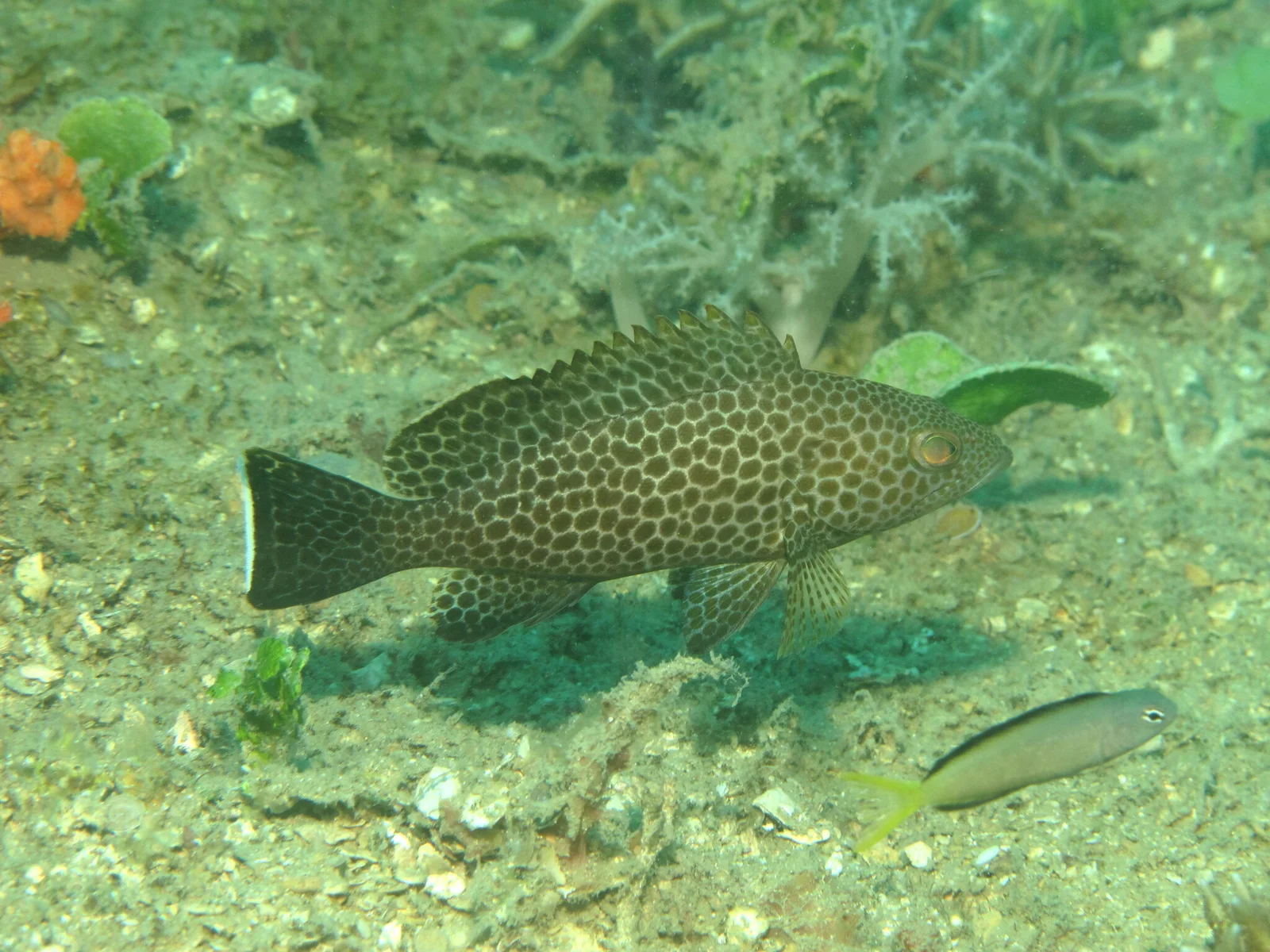
Areolate grouper
- Family
- Epinephelidae
- Depth
- 6–200 m
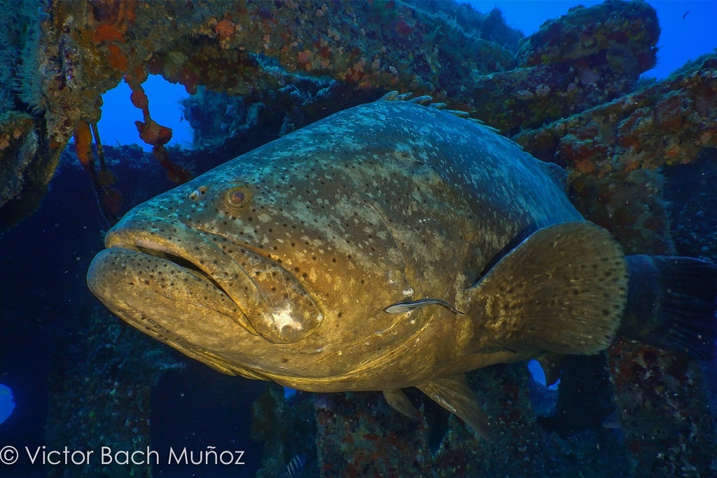
Atlantic goliath grouper
- Family
- Epinephelidae
- Depth
- 0–100 m
- Season
- Jan, Feb, Jun, Jul, Aug, Sep

Black grouper
- Family
- Epinephelidae
- Depth
- 60–250 m
- Season
- Jan, Feb, Mar, Apr, May, Jun, Jul, Aug, Sep, Oct, Nov, Dec
Guides for this water
Technique, gear and safety guides that fit Goldblotch grouper.