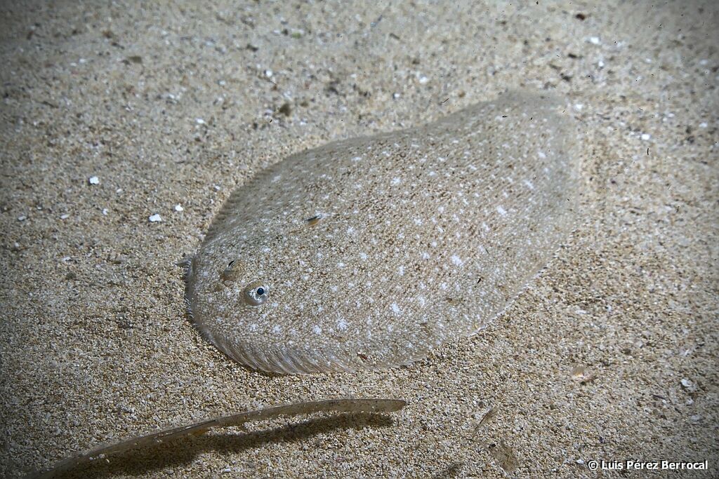
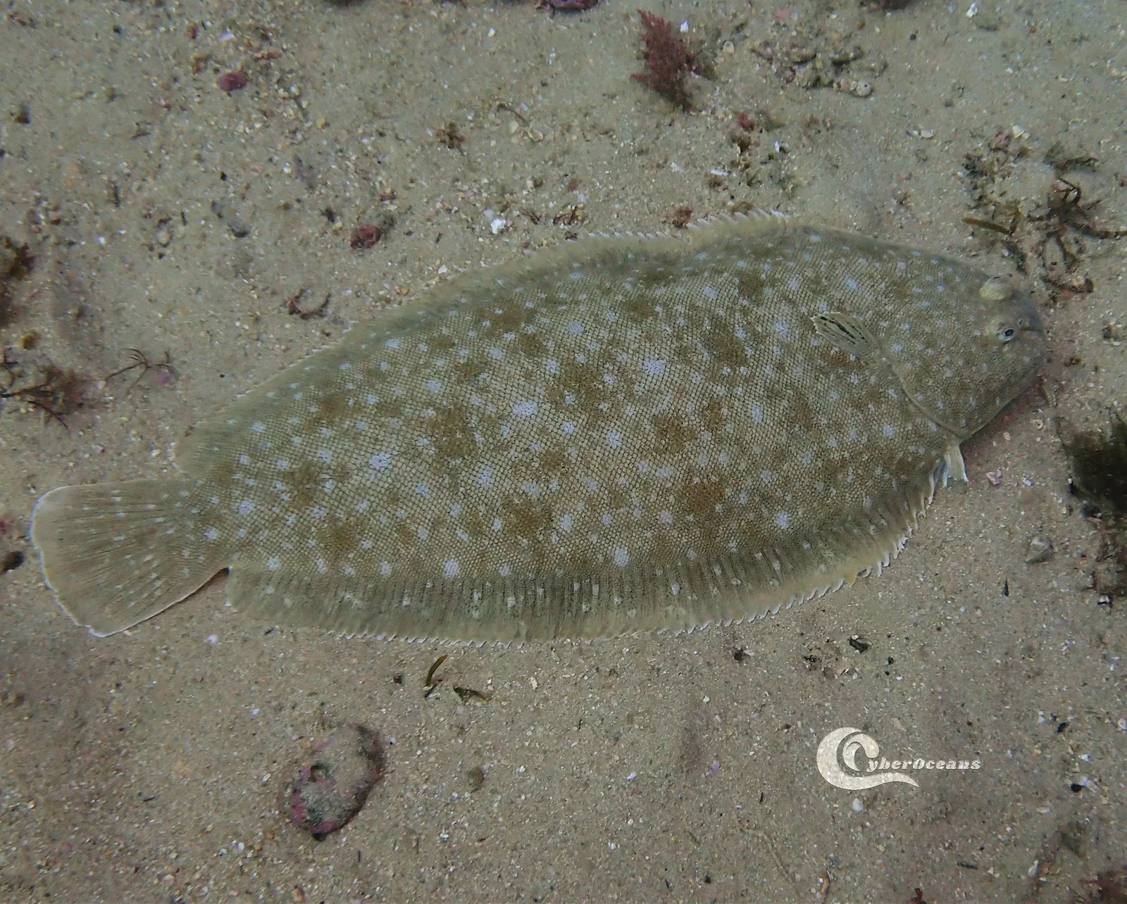
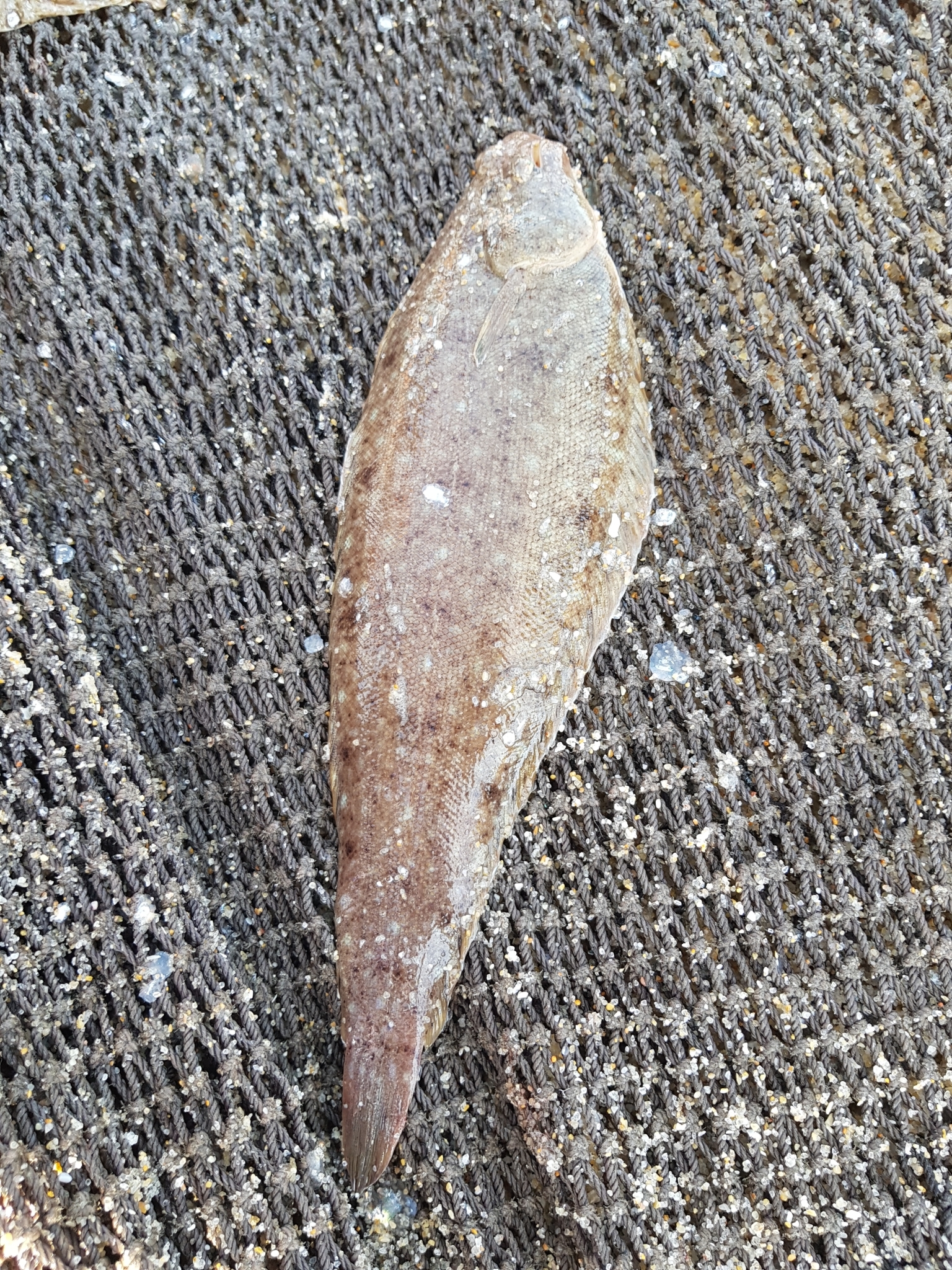
Common sole (Solea solea) is a fish of the family Soleidae. FishBase gives its range as: Eastern Atlantic: southward from Trondheim Fjord (including North Sea and western Baltic) and Mediterranean Sea (including Sea of Marmara, Bosporus and southwestern Black Sea). Elsewhere, southward to Senegal, including Cape Verde. It is recorded from 0 to 150 m, in subtropical water at 8–24 °C. The recorded maxima are 70 cm SL, 3 kg, 26 years. Diet includes crustaceans and worms. IUCN status: Data Deficient (DD). Chinese name: .
The shallow end is the shore end
A 0–150 m range sounds like a wide tolerance. The usual band narrows it to 10–60 m, which is exactly the depth range of the commercial fleet that produced most of the records. Neither figure describes the first ten metres, the part a cast can reach. That strip is not outside the species' range; it is outside its usual band. The fleet does not work there, so the record is thin there; a thin record is not an empty one.
What the top ten metres are
The habitat tags are sandy, muddy, coastal and open-water. The shallow strip is sand and mud, moved by every tide, and it is the part of the range that changes most often. A fish recorded from 0 m is a fish that can be inside the surf line, not just beyond it. A low tide exposes the shape of that ground: the banks, the gullies and the edge of the flat. That is a chart you cannot buy; it is the one you walk.
Wikipedia adds the behaviour behind that thin record. The fish lies partly buried in sand or mud, greyish-brown above and white below, so the first ten metres hide it until the tide moves the ground. The same entry explains the market name: Dover is the English port that landed the most sole in the nineteenth century.
The usual band and the record
GBIF holds 255,443 preserved records: Great Britain 86,797, the Netherlands 50,939, Belgium 30,017, France 28,632, Germany 16,688. FishBase lists 41 territories. Great Britain and the Netherlands alone supply more than half the specimens. That is a southern North Sea and Channel record, and it matches the 10–60 m band where the fleet works.
The record's centre of gravity explains the usual band as much as the fish does. Trawl surveys sample 10–60 m because that is where trawlers go. The 0 m end of the range is documented, but it is not where the sampling effort sits.
iNaturalist holds 347 observations of this species, against 255,443 preserved records in GBIF. The gap is method, not abundance: a photograph is one sighting, a trawl sample is a specimen. For the shallow end the smaller number is the more useful one, because shore sightings sit exactly where surveys are thin.
Tide moves the band
Because the shallow end is zero, the upper edge of the fishable band is set by the tide rather than by the species. At high water the first ten metres are wet and reachable; at low water they drain. The 10–60 m band stays put, but the strip between the beach and that band opens and closes twice a day.
That is the depth plan in one sentence: fish the moving edge, not the fixed contour. The usual band tells you where the fleet is; the tide tells you when the shore end is available.
Temperature and season
The temperature envelope is 8–24°C, wide enough to cover the southern North Sea in winter and the Mediterranean in summer. Spawning is recorded from December to June, with entries from the Bay of Biscay, the Dover Strait and the French bay, the German Bight, the Mediterranean, the Netherlands, Ireland, the United Kingdom, and the southern North Sea, Skagerrak and Kattegat. The months are a union of regional studies, not a single season.
Two fisheries, two depths
Shore casting works the top of the range, over sand and mud, on a rising tide. Boat fishing works the 10–60 m band. The depth range is wide, but the two methods split it cleanly, and the tide decides which end is open. The approved methods list both, and they are not the same operation: one is a surf-zone cast, the other a shelf drift. Choosing between them is choosing which end of the depth range you are fishing.
The DD label
IUCN lists Data Deficient, assessed 15 July 2014. That is not a statement that the fish is rare, and it is not a statement that it is common; it is a statement that the assessment could not place it. The maturity entry is 30.3 cm, and the range has no printed bounds. Both are blanks, and neither should be converted into a fishing rule.
A depth plan, not a depth number
Maximum length is 70 cm SL, common length 35 cm SL, maximum weight 3 kg, oldest age 26 years. Maturity is 30.3 cm; the range has no bounds printed, and the common length sits just above it. The meristic counts — 69–97 dorsal soft rays, zero anal spines, 53–80 anal soft rays, 46–52 vertebrae — describe a flatfish built for the bottom rather than a pelagic swimmer.
Those give the size; the depth line gives the plan. Work the moving tide over sand for the shallow end, or drift the 10–60 m band for the fleet's fish. The number to carry is not 0–150; it is the edge where the water is moving.
How to catch it
Boat bottom fishing
Anchored or drifting boat, bait or lure worked near the recorded bottom.
Regulations before you keep it
These are the published regulations for this fish. Read the number first. The notice below it is the actual regulation.
Minimum size2
Spain's minimum size for sole (lenguado) is 24 cm in the Cantabrian/Northwest and Gulf of Cadiz grounds.
The annex lists the species as Solea vulgaris, a synonym of Solea solea. Mediterranean grounds are covered by a separate annex.
| Lenguado (Solea vulgaris) | 24 |
The minimum size for Common sole in Spain is ≥20 cm.
| Lenguado (Solea vulgaris) | 20 |
Every record above names its source and the date it was retrieved. See the regulation register for the full list, or how to read these regulations.
Where these facts come from
Check these pages before you rely on a size, range or protection status.
-
FishBase — Solea solea
— FishBase · T2
-
GBIF — Solea solea occurrence records
— GBIF · T2
-
IUCN Red List — Solea solea
— IUCN · T1
-
Photo record — iNaturalist
— iNaturalist · T3