
Yellowfin goby
Yellowfin goby is a small, bottom-hugging goby of the northwest Pacific, from the Russian Far East and Korea through the Bohai, Yellow and East China seas to Japan. It tolerates fresh, brackish and salt water and pushes up estuaries, living in 1 to 6 m over soft bottom. Fish reach 30 cm, and the local season runs January to March.

Yellowfin goby (Acanthogobius flavimanus) is a fish of the family Gobiidae. FishBase gives its range as: Northwest Pacific: Russian Far East (from Amur to Peter the Great Gulf), Korean Peninsula, Bohai Sea, Yellow Sea and East China Sea of China, and Hokkaido to Kyushu of Japan. It is recorded from 1 to 6 m, in temperate water. The recorded maximum is 30 cm TL. IUCN status: Least Concern (LC). Chinese name: .
The estuary is a gradient, not a line
Acanthogobius flavimanus is a goby of the family Gobiidae, and its environment line lists marine, freshwater and brackish in the same breath: demersal, amphidromous, 1 to 6 m deep. That combination is the article. The fish is not an estuary fish in the sense of one pin on a map; it is an animal built to use the whole salt-to-fresh transition, and the transition is where the fishing happens. The native range runs from the Russian Far East and the Korean Peninsula through the Bohai, Yellow and East China Seas to Hokkaido and Kyushu. Australia, Mexico and the contiguous United States hold introduced populations, not native ones.
Where the salt line sits
The depth band is shallow, 1 to 6 m, and the habitat keywords are sand, mud and estuary. Read that as a bottom type rather than a set of labels: the fish sits on soft ground where the current slows enough to drop fine sediment, which is usually the inside of a bend, the lee of a spit, or the flat just downstream of a river mouth. On a flooding tide the salt wedge moves upstream and the fish can follow it; on the ebb the same fish is back over the flats. The edge where sand gives way to mud is the place to start, because that is where the bottom changes and where a bottom bait stays visible.
A native range GBIF does not draw
GBIF returns 23 distribution statements for this species, and the pattern is an invasion record rather than a native-range map: Australia, Indonesia, Mexico and the United States, with several introduced rows, plus global, Palaearctic and North America statements. The Asian coast where the fish is native appears in the range text, not in the country rows. That makes the table useful for one question and misleading for another. It shows where the fish has been moved and where it is now established; it does not tell a Japanese angler which river mouth to drive to. iNaturalist holds 939 observations, and the same split shows up there: Japanese and Californian coasts are heavily represented.
The spawning window is a cold-season window
FishBase records spawning in January, February and March, with the only locality row in Kyushu. The Osaka prefectural research institute gives a longer window, January to May, and describes the nest: the male digs a long hole in the bottom of an inner bay or estuary, the female lays on its wall, and the male guards the eggs until hatching. Both records agree on the cold months. That matters because the spawning window is also the period when the largest females are carrying eggs, and a spring bag is not a random sample of the population.
One year class, two schedules
The same Osaka account divides the population into fish that mature in one year and die after spawning, and fish that grow more slowly and mature in two years, the latter called furuse locally. This is the part that changes how a catch should be read. A spring catch is weighted toward fish about to spawn or just spent; an autumn catch is weighted toward the slower group that will carry the year class into the next winter. Releasing fish in spring protects the spawning stock; keeping a bag in autumn removes fish that would have spawned a year later. The distinction is more useful than a single size limit, because it tells you what the season is doing to the population.
Bait has to arrive on the bottom
The fish is demersal, and the Osaka account describes it as omnivorous, taking small animals and algae. On mud, a bait that sinks and lands upright beats one that drags; on sand, a small lead that ticks along the bottom tells you where the substrate changes. The mouth is small, so an oversized hook turns a take into a miss. The same page notes that the fish lives in inner bays, including quite polluted water. That is a warning about where to fish, not a licence to fish anywhere: shallow inner-bay water can lose oxygen in summer, and the fish will be at the oxygenated edge rather than in the middle of the dead zone.
Keep and season are decided separately
Two documents govern a Japanese estuary bag, and neither is the national species page. The prefectural fishery adjustment regulation sets the smallest fish you may take home and the number allowed in a day; the same regulation, or a local resource-management agreement, decides which months and which waters are shut. Those clauses are read in a different order from a size card. A goby that clears the length is still unlawful if it came from a closed water, and one hooked in open season is still unlawful if it is under the line. There is no national number to fall back on. FishBase prints a 30 cm maximum and a 14.5 cm common length but puts maturity at 27 cm, a figure larger than the common length that should be treated as unverified. Take the prefecture's number for the keep decision and treat the maturity figure as background only.
Where to look
Start on the native coast: the Russian Far East from the Amur to Peter the Great Gulf, the Korean Peninsula, the Bohai, Yellow and East China Seas, and Japan from Hokkaido to Kyushu. Inside that range, look for the shallowest muddy or sandy shelf at a river mouth, 1 to 6 m deep, and fish the salinity seam rather than the open bay. In the introduced range the same habitat repeats in Australian estuaries, Mexican coastal lagoons and Californian tidal sloughs. The fish is harmless to handle. The gradient is the map; the rulebook is local, and the species name does not carry a size limit with it.
Where these facts come from
Check these pages before you rely on a size, range or protection status.
- FishBase — Acanthogobius flavimanus — FishBase · T2
- GBIF — Acanthogobius flavimanus occurrence records — GBIF · T2
- IUCN Red List — Acanthogobius flavimanus — IUCN · T1
- Photo record — iNaturalist — iNaturalist · T3
Fish in the same water
These fish live in the same place.
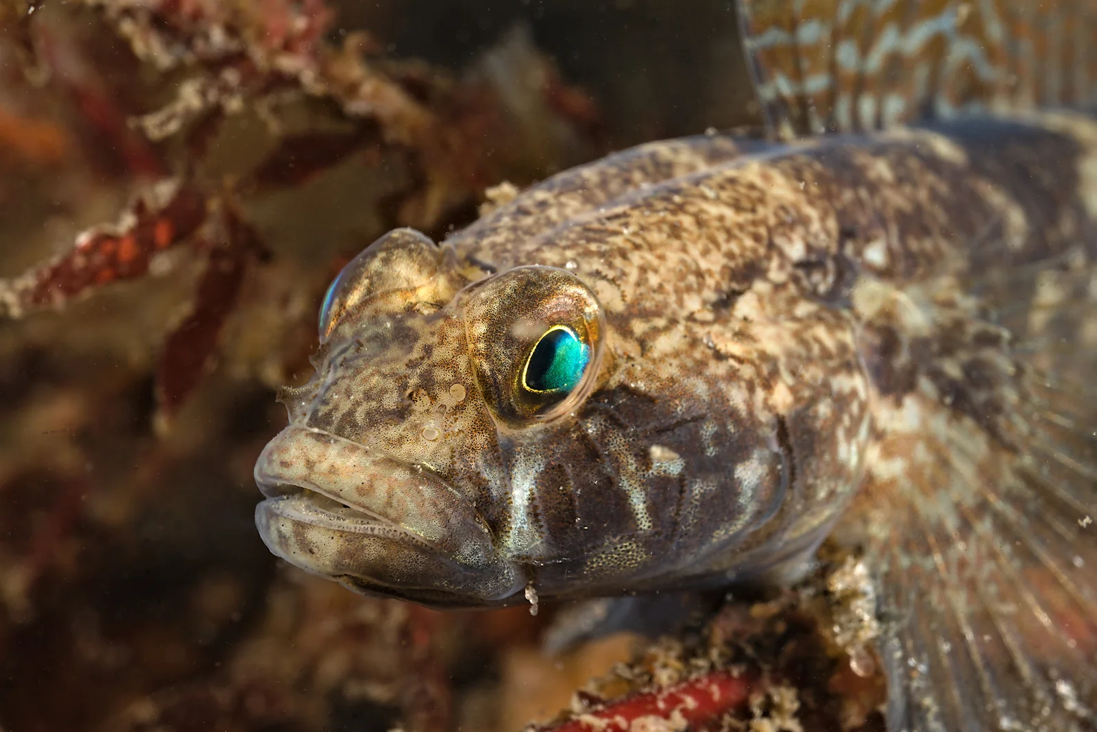
Black goby
- Family
- Gobiidae
- Depth
- 1–96 m
- Season
- Mar, Apr, May, Jun, Jul, Aug, Sep
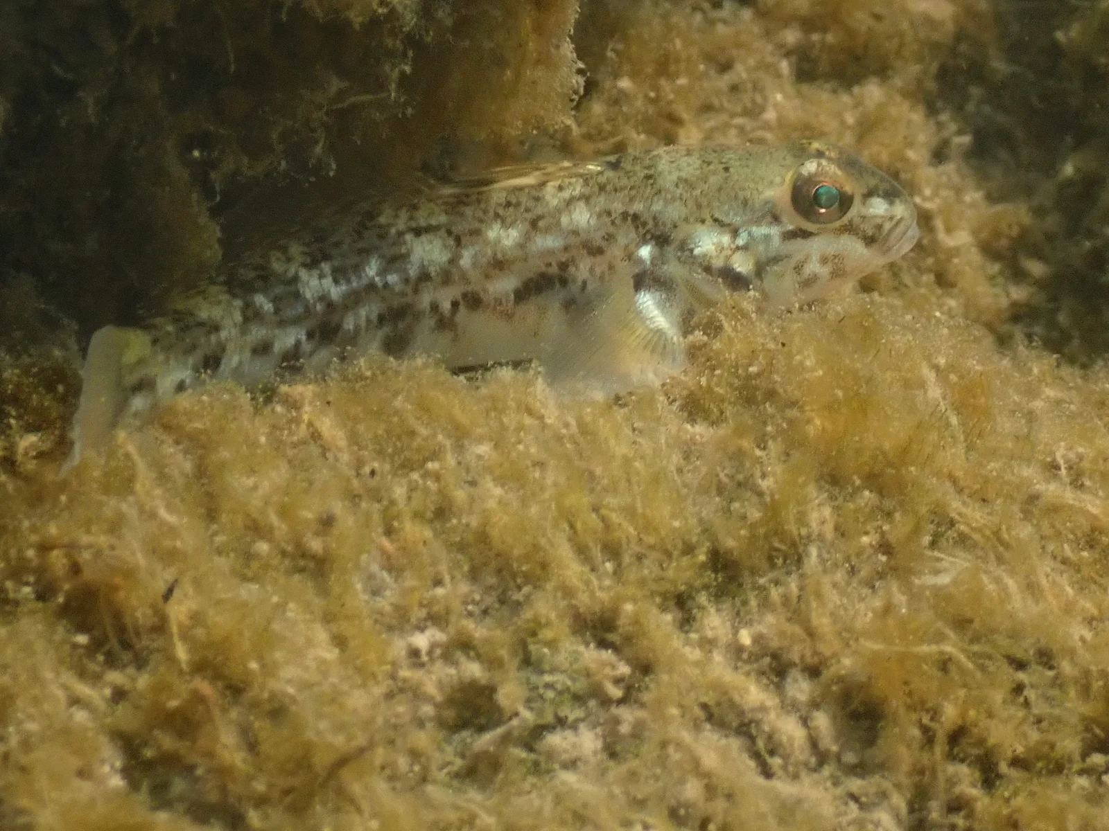
Round goby
- Family
- Gobiidae
- Depth
- 0–30 m
- Season
- Apr, May, Jun, Jul, Aug, Sep

Acoupa weakfish
- Family
- Sciaenidae
- Depth
- 1–20 m
- Season
- Jan, Feb, Mar, Apr, May, Jun, Jul, Aug, Sep, Oct, Nov, Dec
Guides for this water
Technique, gear and safety guides that fit Yellowfin goby.