
Finescale triggerfish
The habitat row prints three words — rocky, sandy, open-water. Three substrate entries do not describe one bottom; they describe a boundary. A fish recorded over rock, over sand and in the water above both has no single address, and the only place where all three descriptions hold within a few metres is the margin where hard and soft ground meet. That margin is the working line for this page.
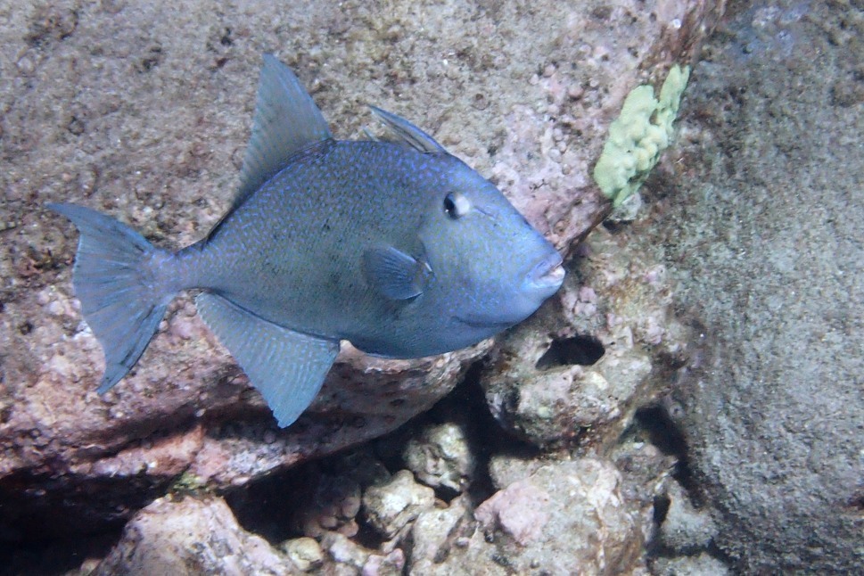
The habitat row prints three words — rocky, sandy, open-water. Three substrate entries do not describe one bottom; they describe a boundary. A fish recorded over rock, over sand and in the water above both has no single address, and the only place where all three descriptions hold within a few metres is the margin where hard and soft ground meet. That margin is the working line for this page.
Three bottoms and a mile of water
Rocky and sandy are two ends of a seafloor. Open-water is not a seafloor at all. The same page also carries "reef-associated" as its milieu word, which points back at hard structure. So the record gives one habitat that is a place, one that is its opposite, and two that sit between them.
None of the four is corrected by another. The page does not say what proportion of the population is over rock, and it does not say whether "open-water" means mid-water feeding or a fish moving between reefs. What the four words do support is a search instruction: where rock and sand touch, every keyword on the row is true at once. A diver or an angler working that seam is fishing inside the description rather than betting on one part of it.
Prey with hard parts
The diet row names crustaceans and echinoderms. Both groups carry hard material — a carapace or a shell in the first case, a test of plates in the second — so the recorded prey is not soft-bodied. That is a bait fact before it is a habitat fact. A soft strip is taken in one motion; a crab or a piece of urchin has to be worked, and working it keeps the bait on the ground longer.
The record stops at the prey names. It does not give prey size, feeding depth, or how the fish breaks a shell. Those details are absent, and this page will not supply them from a congener. What is left is a direction: bait that resembles something armoured, fished where armoured animals live, which is hard ground and the edge of it.
Three to sixty, no everyday band
The depth row runs from 3 to 60 m and cites reference 91172. There is no second "usually" figure beside it. Fifty-seven metres separate the ends, and the record leaves that whole span as the range where the species has been found.
The shallow end changes the access question. Three metres is inside snorkel range on a rocky shore; the fish can be seen, and in clear water it can be watched rather than guessed at. The deep end changes the gear question. Sixty metres is a boat drop, and a lead that reaches bottom at 60 m in current is a different object from the one used at 15 m.
Because no usual band is printed, the plan cannot start from a known depth. It has to be searched: shallow first, because that is the cheap end, then deeper until the fish appears or the ledge runs out.
The northern edge moves
FishBase draws the range from northern California to Chile, and adds the Galapagos and the Hawaiian Islands. One of the five GBIF assertions draws the northern edge from Washington instead: its Spanish text runs from the state of Washington in the USA to Chile, and lists the Marquesas and Hawaii as possibilities rather than as confirmed points.
Washington is well north of northern California, and "possibly" is a weaker claim than the FishBase line. Both statements sit in the same record without reconciliation. This page states the disagreement and does not pick a winner, because neither source offers a collection point that would settle it.
Seventy-six and fifty
Maximum length is 76 cm TL, from reference 2850. Common length is 50 cm TL, from reference 9276. The record prints no maximum weight, no maximum age and no maturity length.
Three blanks remove three of the usual planning numbers. Without a weight there is no figure to match against a rod rating. Without an age there is no growth curve to place a 50 cm fish on. Without a maturity length there is no release point, and no way to tell whether the common fish is an adult.
The 76 cm figure is a maximum with a reference, and the 50 cm figure is a common length with a different reference. Two numbers, two sources, one and a half times apart. On deck the second one is the working figure; the first one is the fish that ends the day.
An empty spawning field
The spawning entry is empty. It is not a short list of months and it is not a range with a gap; the field carries nothing. The Wikipedia entry describes the species as a triggerfish of the eastern Pacific and stops at that level. Neither page gives a month.
The blank has one honest reading: no spawning survey reached this record. It is not evidence that spawning never happens, and it is not a licence to copy the Atlantic grey triggerfish's twelve-month table onto this species. A trip planned without a month is a trip planned on depth and substrate instead.
A commercial fish with no sport label
Human uses list commercial fisheries only. The gamefish field is empty, and so is the aquarium field. This is a landed fish and not, in the record, a sport target — a different profile from its Atlantic relative, which carries both a commercial line and a gamefish tick.
The names explain part of the gap. FishBase lists "Finescale triggerfish" as the current English name and "Finscale triggerfish" as an older FAO label. Both describe the scales; neither is a market name with a price attached. The IUCN category is Least Concern, assessed on 1 May 2008. That is a global judgement made in 2008, and it carries no local stock number.
Fishing the hard–soft edge
The substrate row and the diet row combine into one instruction. Find the seam where rock meets sand inside 3–60 m, and place the bait on it: an armoured bait on the sand side of the seam, weight sized to hold on the rock side. Because open-water is also printed, a bait drifted a metre off the bottom is still inside the record; because there is no usual band, the depth is searched rather than chosen.
Gear follows the 50 cm common length — a medium boat rod, a leader that can take a fish feeding on shells, and a net wide enough for the common fish rather than the maximum. The 76 cm fish is the exception the row permits, not the size to rig for.
iNaturalist holds 1,453 observations. That is a documentation count, not an abundance figure, and it is large enough to show regular encounters along the eastern Pacific coast. GBIF's five distribution assertions are the other extreme: two carry a country code (Chile and Mexico), and three are regional labels such as East Pacific and Global. One of the five is a point rather than a label — Bahía Solano in Chocó, taken from a 2010 checklist of fishes associated with mangroves. Mangrove is a fourth bottom, and it is not one of the three keywords on the FishBase row. Five assertions still cannot narrow a 57-metre band or a coastline that runs from Washington to Chile. They confirm only that the record is thin at the level of a point.
Where these facts come from
Check these pages before you rely on a size, range or protection status.
- FishBase — Balistes polylepis — FishBase · T2
- GBIF — Balistes polylepis occurrence records — GBIF · T2
- IUCN Red List — Balistes polylepis — IUCN · T1
- Photo record — iNaturalist — iNaturalist · T3
Fish in the same water
These fish live in the same place.
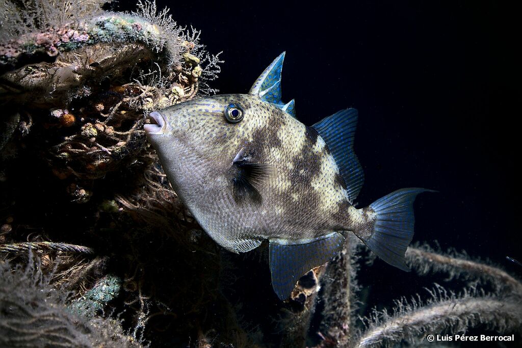
Grey triggerfish
- Family
- Balistidae
- Depth
- 0–100 m
- Season
- Jan, Feb, Mar, Apr, May, Jun, Jul, Aug, Sep, Oct, Nov, Dec
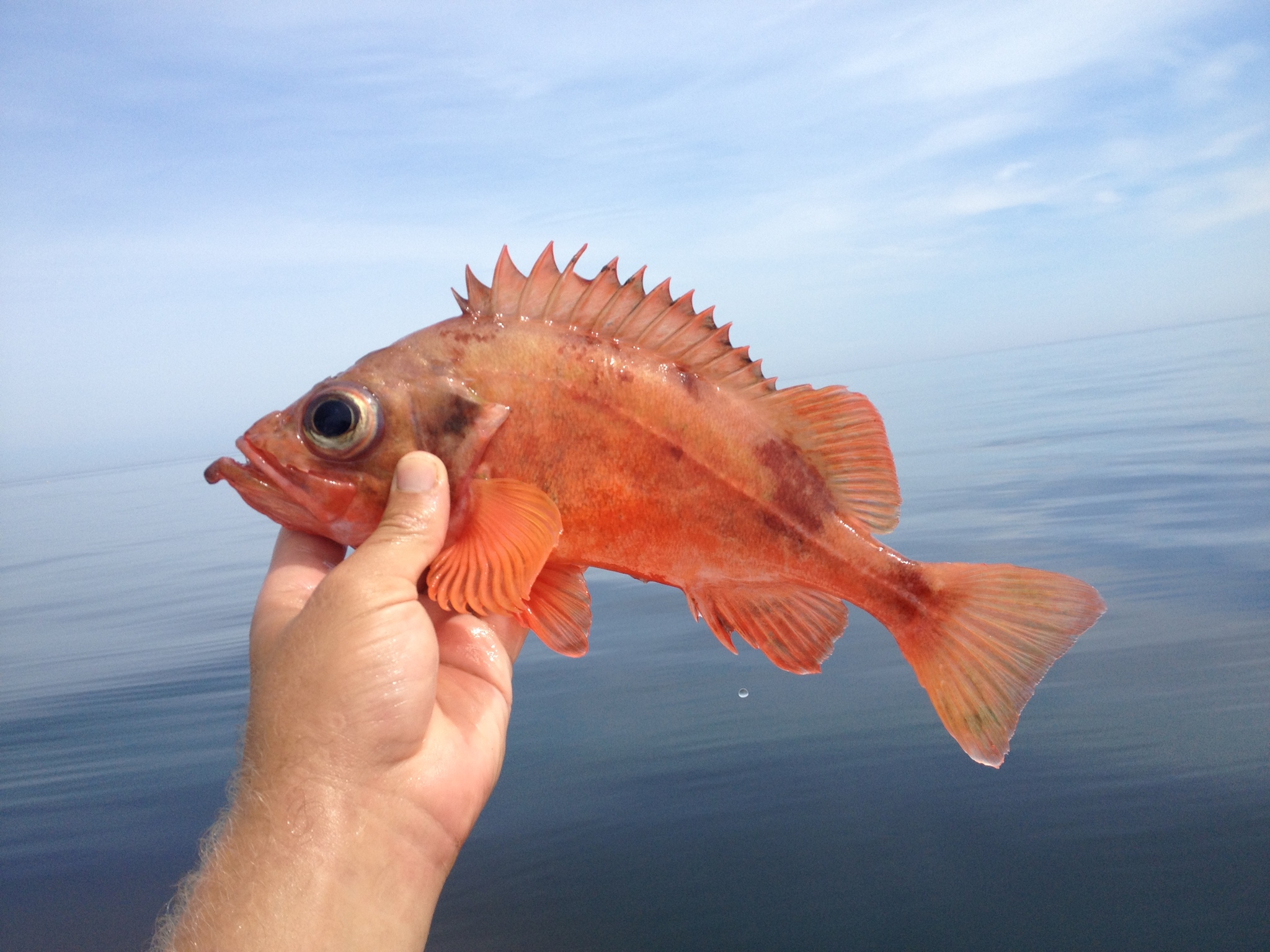
Acadian redfish
- Family
- Sebastidae
- Depth
- 70–592 m
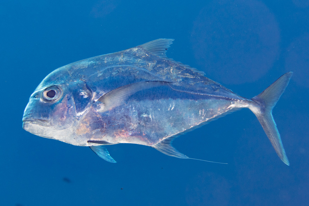
African pompano
- Family
- Carangidae
- Depth
- 60–100 m
Guides for this water
Technique, gear and safety guides that fit Finescale triggerfish.