
Santer seabream
Santer seabream is a sparid of the western Indian Ocean, from the Red Sea south to Mossel Bay and east to India and Sri Lanka. It lives from 20 to 300 m in tropical water and reaches 75 cm TL. Its season runs May to October.

Santer seabream (Cheimerius nufar) is a fish of the family Sparidae. FishBase gives its range as: Western Indian Ocean: Red Sea south to Mossel Bay, South Africa and east to India and Sri Lanka. It is recorded from 20 to 300 m, in tropical water. The recorded maximum is 75 cm TL. IUCN status: Least Concern (LC). Chinese name: .
A twenty-metre floor
The environment line gives a depth range of 20 to 300 metres and calls the fish reef-associated. Twenty metres is a floor, not a preference: it is the shallowest depth in the record, and it does not say how often the fish is found there.
For an angler this is the boundary that decides the platform. A 20 m mark is reachable by boat and, on a steep shore, by a long cast into deep water; it is not reachable across a sand beach. The fish is also described as tropical, with a latitudinal envelope from 32°N to 28°S, which puts the shallow end in warm water rather than in the temperate surf where other sparids are met.
A three-hundred-metre ceiling
The other end of the band is not a fishing depth for most crews. Three hundred metres is trawl and deep-drop country, and the page gives no usual depth to say how much of the band is occupied. Without that middle figure, the honest reading is a triangle rather than a band: many records near the shallow end, fewer as depth increases, with the 300 m figure marking the deepest capture rather than a target.
That shape matters for planning. If the fish were evenly spread, a 150 m drop would be as good as a 30 m one. The missing usual-depth entry says the record does not know the distribution within the range, and this page will not supply one.
The estuary tag on a reef fish
Biology keywords are rocky, estuary and coastal. Estuary sits oddly beside a 20 m minimum and a reef-associated label. A fish that starts at 20 m can enter a deep estuary mouth or a drowned river channel, but it cannot work a shallow tidal flat, and the page does not tick brackish water anywhere.
Treat the word as a shape, not a salinity claim. A reef running into a deep channel at a river mouth satisfies all three keywords at once. A muddy flat at the head of the same estuary satisfies one. When the tags disagree, the depth floor is the harder record, and it says: fish the outer end.
A common length below its own maturity line
The size block gives a 75 cm maximum and a 30 cm common length, both total length, and first maturity at 34.6 cm, bracketed by 35 to 45 cm. The common length is therefore below the maturity figure. That is not a rounding problem; it is a statement about which fish the record mostly describes.
There are two readings, and the page picks neither. Either the common length comes from a fishery that lands mainly immature fish, or the maturity estimate comes from a different population than the common-length estimate. Both are common in sparid records. For a release decision, the maturity range is the conservative number: a fish under 35 cm is below the lower bound of the range, whatever the common length says.
There is no weight entry at all. Without one, a length-to-weight conversion would have to come from a formula rather than from this source, so this article keeps every decision in centimetres.
May to October, all from the south
Spawning is recorded from May to October, from two entries: Natal in South Africa for June to October, and "Southern Africa" for May to October. Both are southern-hemisphere records, and the range of the species crosses the equator into the Red Sea.
That is a gap rather than a contradiction. The species is recorded from the Red Sea south to Mossel Bay and east to India and Sri Lanka, but the spawning table only documents the southern African part of that range. A northern population may spawn on a different calendar; the page simply has no entry for it. Do not move the southern window north as if it were a law.
GBIF's 23 declarations fill in the northern half: Red Sea, Somalia, Djibouti, Eritrea, Kenya, Tanzania, Comoros, Mauritius, Mozambique, Réunion, Madagascar and South Africa all carry presence records. That is a range statement, not a spawning calendar. The May–October window still comes only from the two southern African entries, so a Red Sea or Kenyan trip has documented fish but no documented season; check the local closed season rather than moving the South African months north.
One genus, one species
FishBase places the species in the Western Indian Ocean, from the Red Sea south to Mossel Bay and east to India and Sri Lanka. The genus itself holds only this accepted species, so there is no sibling to rule out at genus level.
That leaves the binomial as the only name worth carrying across the range; the genus adds no second candidate to check.
Names that describe a colour
English entries are Red steenbras, Santer, Santer seabream and Soldier. iNaturalist prefers Santer Seabream. These are colour and trade words, not size or habitat claims. The Chinese entries, and its traditional form, keep the "purple back" idea and add a season word the English lacks.
A record from India and one from South Africa may not match by name even when the fish does. The binomial is the only field that travels the whole range; the country table — 24 territories from Bahrain to South Africa — is where that range is listed.
Where the band actually sits
Start at the top of the band: rocky structure in 20 to 40 metres is the slice the record supports, and the part a small boat can work. Sound the drop rather than dropping blind; reef-associated fish sit on the edge of rock, not on open mud.
Keep the lengths separate from the depths. The depths say where to look, the lengths say what to release. The 300 m figure is a boundary of the record, not an invitation.
Where these facts come from
Check these pages before you rely on a size, range or protection status.
- FishBase — Cheimerius nufar — FishBase · T2
- GBIF — Cheimerius nufar occurrence records — GBIF · T2
- IUCN Red List — Cheimerius nufar — IUCN · T1
- Photo record — iNaturalist — iNaturalist · T3
Fish in the same water
These fish live in the same place.
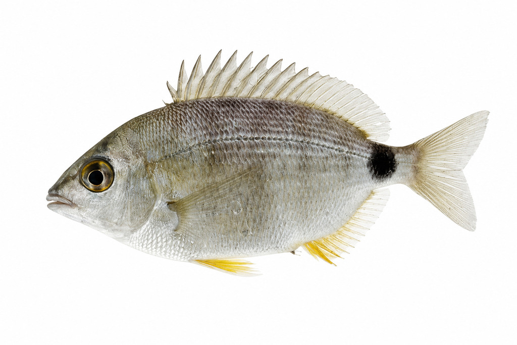
Annular seabream
- Family
- Sparidae
- Depth
- 0–90 m
- Season
- Jan, Feb, Mar, Apr, May, Jun, Jul, Aug, Sep

Axillary seabream
- Family
- Sparidae
- Depth
- 0–500 m
- Season
- Jan, Feb, Mar, Apr, May, Jun, Jul, Aug, Sep, Oct, Nov, Dec
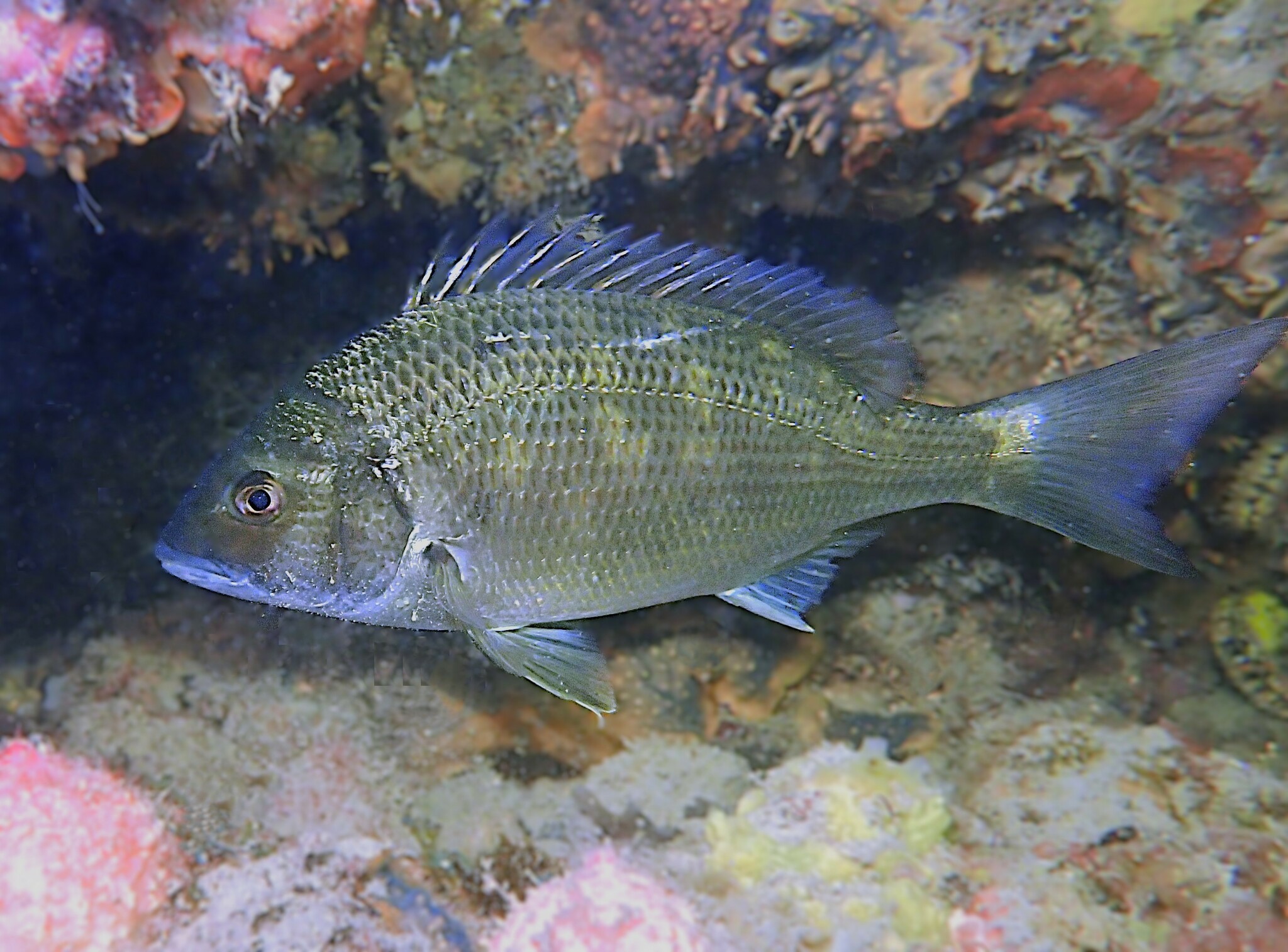
Black bream
- Family
- Sparidae
- Season
- Jan, Feb, Jul, Aug, Sep, Oct, Nov, Dec
Guides for this water
Technique, gear and safety guides that fit Santer seabream.