
Colorado snapper
Colorado snapper is a medium-sized lutjanid of the eastern Pacific, from southern California to Panama. It is a reef species, living from 1 to 70 m in subtropical water, reaches 91 cm TL and 9.3 kg, and feeds on fish.
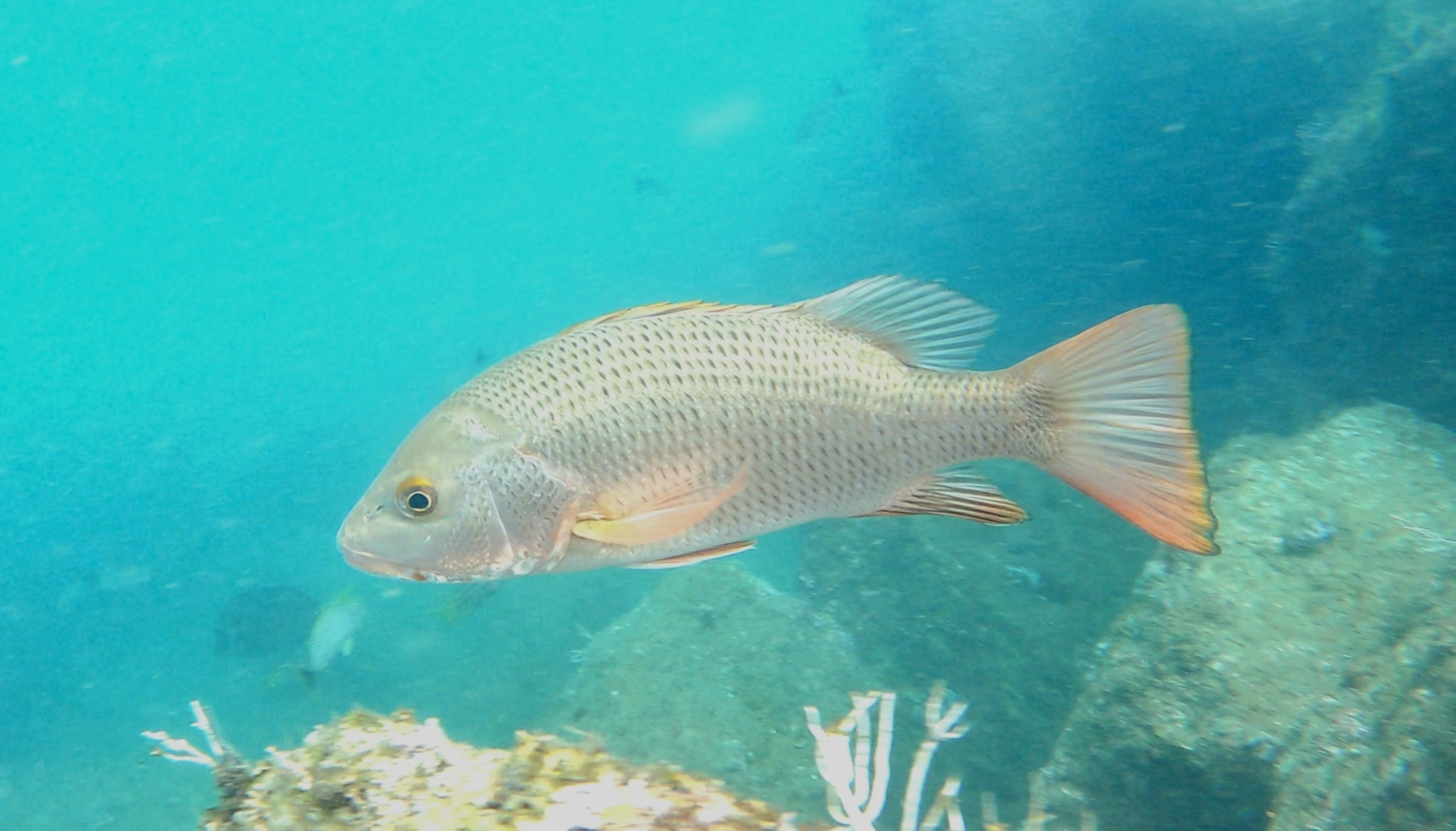
Colorado snapper (Lutjanus colorado) is a fish of the family Lutjanidae. FishBase gives its range as: Eastern Pacific: southern California, USA to Panama; rare north of Baja California, Mexico. There are unsubstantiated reports of this species from localities as far south as northern Peru. It is recorded from 1 to 70 m, in subtropical water. The recorded maxima are 91 cm TL, 9.3 kg. Diet includes fishes. IUCN status: Least Concern (LC). Chinese name: .
One metre is a shoreline
A one-metre lower bound is not a boat depth. It describes the top of something — a reef crest, a rock edge, the lip of an estuary mouth — and the habitat keywords on the same record are reef, estuary and coastal, three words that point at a junction rather than a flat. At the other end, seventy metres is well outside breath-hold work and firmly in boat territory. What the record does not do is rank the middle; it states that the range exists, not where the fish spends its day. The two ends are different fisheries, worked by different gear.
That gap matters because the two ends are fished by different people with different tackle. The shore angler works the top of the band from a rock platform, whether or not the fish there are the largest; the boat works the bottom at seventy metres, whether or not structure shows on the sounder. Neither is wrong — the record simply declines to say which end holds more fish.
The range is a coastline, not a sea
The coordinate box is 36°N to 4°N and 90°W to 77°W, which is a long, thin strip against the American Pacific coast rather than an ocean-wide distribution. The country table that accompanies it runs from the United States through Mexico, Guatemala, El Salvador, Honduras, Nicaragua, Costa Rica, Panama, Colombia and Ecuador. GBIF's own distribution declarations, by contrast, name only Colombia and Mexico, six records in all, including an East Pacific source, a Chocó mangrove checklist and one freshwater assessment for the Neotropical region. Ten jurisdictions in one source and two in another is a reminder that a range is a political map laid over a habitat.
For planning, pick a country, then a stretch of its coast, then move to the depth question. The species does not require an offshore run to be reachable, because the shallow end of its band is on land.
Tide sets the upper edge
If the shallow end sits on a reef top or a rock shelf, then the position of that one-metre line changes through the day, and a fish holding near it moves with the water rather than with the map. That is geometry: a ledge that is three metres down at high water can be six metres down at low. The record contains no tide data and no statement about vertical movement, so this is a working assumption to be tested on the water, not a finding.
The test is simple: fish the same piece of structure across a full tide and note where the bite occurs relative to the rock. If the fish follow the falling water down the face, the band is moving with the tide; if they stay pinned to one ledge regardless of height, the band is fixed and the tide only changes how castable it is.
Ninety-one centimetres and no common size
The size line gives 91 cm total length and 9.3 kg, and leaves both the common length and the maximum age empty. So the ceiling is documented and the middle is not. That is an invitation to over-gear: a rod chosen for a 9.3 kg fish is a rod chosen for an event that the record does not say is typical.
The safer reading is the opposite one. Treat 91 cm as the outer edge of what exists, and treat every fish you meet as unknown until weighed. A leader that survives reef and a drag that can be adjusted by hand matter more than a blank rated for the record. If the fish turns out to be large, the drag is there to be raised; if it does not, nothing was lost by starting low.
Baja is a border, Peru is a footnote
Two statements pull in opposite directions. The distribution sentence calls the species rare north of Baja California, yet the country table includes the United States. It also mentions reports from northern Peru while the country table stops at Ecuador. Read literally, the northern limit is soft and the southern extension is unconfirmed.
Neither line corrects the other, and neither one settles the question. The country table is the safer working range because each row is a jurisdiction with a record behind it; the sentence about Peru is explicitly labelled unsubstantiated, which is a different kind of claim. For a trip, plan inside the table and treat both edges as fences rather than destinations.
A fish-eater with one word in the diet column
The diet is recorded as fishes, in a single keyword. The use line carries two flags, commercial fishing and gamefishing. A one-word diet is thin evidence for bait choice, but it does confirm the fish is no grazer. Whole fish, strips and fish-shaped lures are the presentations that match the keyword, and the keyword supports a moving bait more than a static one.
Because the species is also landed commercially, its name will appear on market lists alongside fish you would never cast for. That is no reason to fish differently, only a reason to check what you are buying when the label and the photo disagree.
What 258 observations can and cannot show
iNaturalist holds 258 observations for the taxon. That is not a population estimate: observations record where photographers went, not how many fish are there.
The management record is more specific than either map. Mexico's federal fisheries plan, published on 26 March 2021, covers pargo colorado together with robalo garabato and curvinas in the Marismas Nacionales of Nayarit and southern Sinaloa, with four components and 65 actions across 18 lines. That is a jurisdiction with a plan, not a coastline with a range; use observations to choose a coast with repeat sightings, and the plan to know which stretch has a rulebook.
Working the band in practice
Put the pieces together and the species becomes a tide problem rather than a map problem. Start from shore where the band touches the land: a rock edge, an estuary mouth, a reef top that a cast can reach. Move to a boat when the fish are not there and the depth figure says they still might be, out to seventy metres but not anchored on the first mark you find.
Fish the falling and rising water rather than the slack, because that is when the upper edge of the band is moving and when a fish holding on structure has to adjust. Watch the sounder for the change from hard to soft bottom and cast to that seam, since estuary, reef and coastal are all on the same record. If a fish is landed, measure it: the record has a top and no middle, and the only way to fill that middle for your coast is to keep the numbers you catch.
Where these facts come from
Check these pages before you rely on a size, range or protection status.
- FishBase — Lutjanus colorado — FishBase · T2
- GBIF — Lutjanus colorado occurrence records — GBIF · T2
- IUCN Red List — Lutjanus colorado — IUCN · T1
- Photo record — iNaturalist — iNaturalist · T3
Fish in the same water
These fish live in the same place.
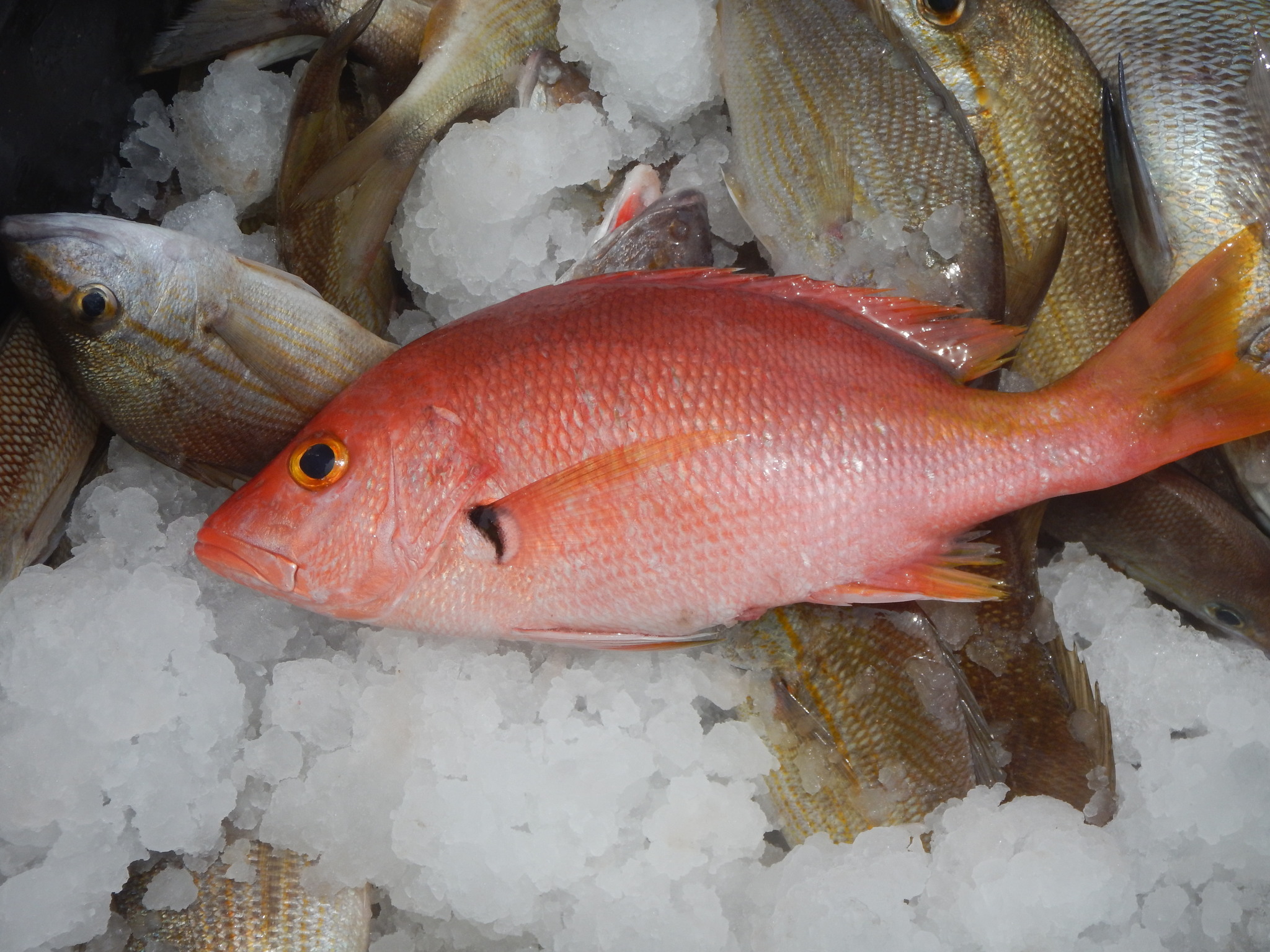
Blackfin snapper
- Family
- Lutjanidae
- Depth
- 20–200 m
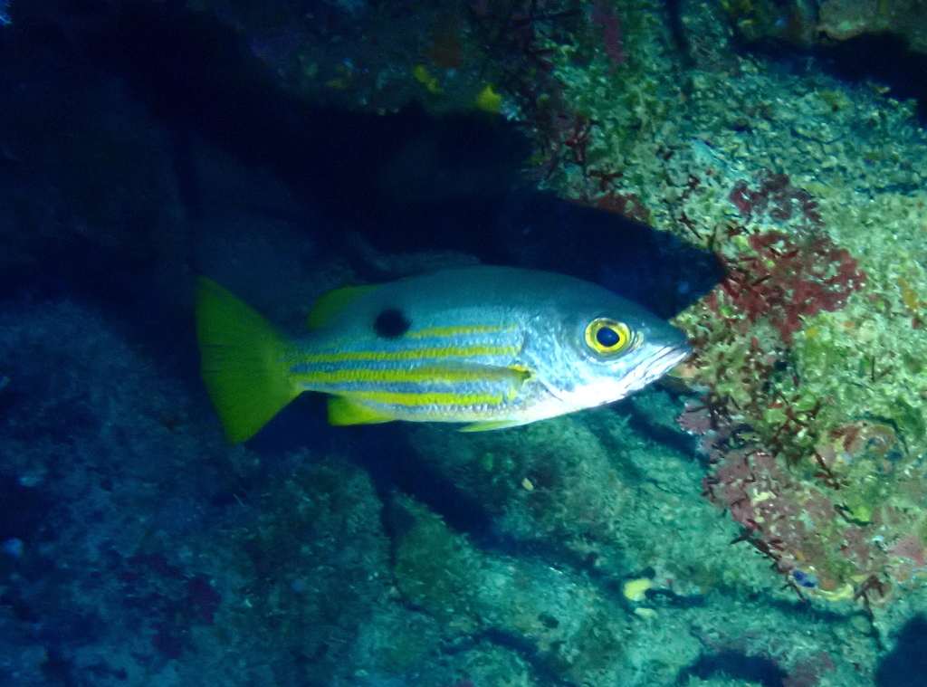
Blackspot snapper
- Family
- Lutjanidae
- Depth
- 5–20 m

Blacktail snapper
- Family
- Lutjanidae
- Depth
- 1–80 m
- Season
- Jan, Feb, Mar, Apr, May, Jun, Jul, Aug, Sep, Oct, Nov, Dec
Guides for this water
Technique, gear and safety guides that fit Colorado snapper.