
Pacific red snapper
Pacific red snapper is a coastal reef lutjanid of the eastern Pacific, from Mexico to Peru. It lives shallower than 40 m in tropical water, reaches 95 cm TL and 5.8 kg, and feeds on fish. Its recorded season is April and September.

Pacific red snapper (Lutjanus peru) is a fish of the family Lutjanidae. FishBase gives its range as: Eastern Pacific: Mexico to Peru. It is recorded shallower than 40 m, in tropical water. The recorded maxima are 95 cm TL, 5.8 kg. Diet includes fishes. IUCN status: Least Concern (LC). Chinese name: .
Three maturity figures, no shared sample
FishBase records length at first maturity as 38.0 cm, with the accompanying range left empty. A CIBNOR review of the species cites 22 cm for females in Mexico, attributing the figure to Allen (1985). A study of gonadal development in Guerrero estimated first maturity for females at 295 mm fork length. Three numbers, three methods, no shared sample.
The range field being blank matters as much as the value. A maturity length without a range is a point estimate borrowed from somewhere; it tells a reader nothing about how variable the transition is across the stock.
The depth column stops at forty
The environment line reads “?–40 m”, with no shallow limit recorded. The biology text then says adults are found on hard structure in shallow reef water and have been recorded to a depth of at least 80 m. The column and the prose disagree about where the species stops.
Neither number is marked as provisional. One comes from a depth field, the other from a habitat description, and no statement reconciles them. A boat working to 40 m would cover the depth field but miss the 80 m the prose adds.
What is actually missing
There is no maximum recorded age. There is no maturity range. There is no shallow depth limit. The weight entry is a 5.8 kg maximum with no common weight; the length entry gives a 50 cm common length. The reproduction section gives a spawning season but not the sample size behind it.
Those five blanks are the difference between a species card and a management dataset. None of them can be filled from the other fields without guessing, and a guess written as a number is harder to spot later than a blank.
Why nothing gets filled in
Averaging 22, 29.5 and 38 would produce a number attached to no method. Taking the smallest would silently protect immature fish; taking the largest would silently allow their capture. Plotting a depth floor at 0 m because the field lacks one would convert “unknown” into “surface”. All three moves are tidy and all three are wrong.
The honest use of these records is to keep each figure tied to its source: 38.0 cm is the FishBase value with no range, 22 cm is the literature value cited for Mexico, 29.5 cm FL is the Guerrero histological estimate. A reader can then decide which sample resembles the water in front of them.
Reading a hard bottom
Hard bottom is the habitat statement that repeats across sources. Adults are described from rocky and reef areas in coastal water, with juveniles in shallower coastal habitat. The stomach work adds that the diet shifts with size.
That gives a search geometry rather than a depth number. Work the upper edge of hard structure first, because the depth field only claims 40 m. Then step down the same structure toward 80 m, where the prose says the fish has been recorded. The vertical distance between those two statements is the part of the slope worth testing.
The record that says almost nothing
GBIF holds three distribution statements for this species: an East Pacific record from ITIS, a Global record from the IUCN Red List carrying a Least Concern status, and a Mexican checklist entry marked NATIVE, carrying country code MX and no locality label. No exclusive economic zone, and no locality finer than an ocean basin.
Read together, the two entries triangulate rather than conflict: FishBase supplies the two coastal endpoints, GBIF supplies the basin labels and one national checklist. For trip planning, the FishBase endpoints are the geography a trip can use.
What the stomachs add
The Guerrero study examined 385 full stomachs collected monthly in 1993 and 1994 from commercial catches. Fishes, crustaceans and molluscs made up the diet, and the anchovy Anchoa ischana dominated the trophic spectrum in both years. In 1993 crustaceans as a group dominated from February to August; in 1994 they dominated only in March and August. Above 261 mm fork length the fish became more piscivorous.
This gives the trip a concrete mechanism. If the adults are chasing anchovies over hard bottom, then baitfish schools and the structure they pass are the target, not a fixed depth contour.
A plan made of blanks
Run the boat to hard bottom in the 40–80 m band and drift or slow-troll a fish-like bait through the upper edge first. Repeat the pass with a fresh bait and note whether the school is present. If anchovies are on the sounder, stay with them rather than with the reef.
Record every fish's length against all three maturity figures instead of one. A 25 cm fish sits above the 22 cm literature value and below the 38.0 cm database value, and that gap is information about which rule the local fishery is actually using. The blanks do not need to be filled to be useful; they need to be carried.
Where these facts come from
Check these pages before you rely on a size, range or protection status.
- FishBase — Lutjanus peru — FishBase · T2
- GBIF — Lutjanus peru occurrence records — GBIF · T2
- IUCN Red List — Lutjanus peru — IUCN · T1
- Photo record — iNaturalist — iNaturalist · T3
Fish in the same water
These fish live in the same place.
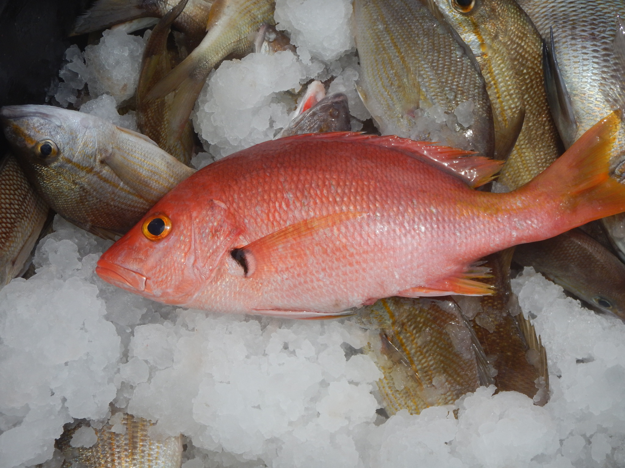
Blackfin snapper
- Family
- Lutjanidae
- Depth
- 20–200 m
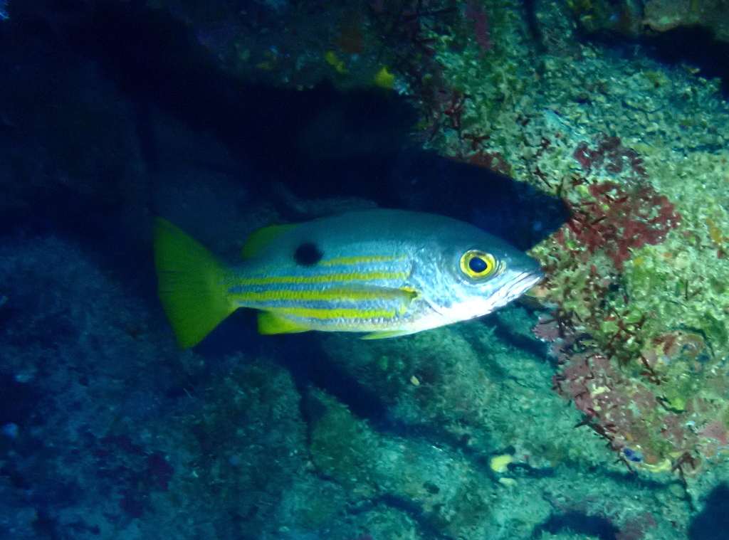
Blackspot snapper
- Family
- Lutjanidae
- Depth
- 5–20 m

Blacktail snapper
- Family
- Lutjanidae
- Depth
- 1–80 m
- Season
- Jan, Feb, Mar, Apr, May, Jun, Jul, Aug, Sep, Oct, Nov, Dec
Guides for this water
Technique, gear and safety guides that fit Pacific red snapper.