
Lane snapper
Lane snapper is a shallow-reef lutjanid of the western Atlantic, from Bermuda and North Carolina to southeastern Brazil, including the Gulf of Mexico and Caribbean. It lives from 10 to 400 m in subtropical water, reaches 60 cm TL and 3.5 kg, can live 10 years, and feeds on fish, molluscs and worms. It is present year-round.

Lane snapper (Lutjanus synagris) is a fish of the family Lutjanidae. FishBase gives its range as: Western Atlantic: Bermuda (Anderson, pers. comm.) and North Carolina, USA to southeastern Brazil, including Gulf of Mexico and Caribbean Sea. It is recorded from 10 to 400 m, in subtropical water. The recorded maxima are 60 cm TL, 3.5 kg, 10 years. Diet includes fishes, molluscs and worms. IUCN status: Near Threatened (NT). Chinese name: .
Four names and one binomial
The page record carries eleven English aliases: bream, godbless, Mexican snapper, moonlight grunt, pot snapper, redfish, redtailed snapper, snapper, spot snapper and Walliacke, with lane snapper as the preferred name. The Chinese record adds . None of those words is a taxonomic statement. A market can call a fish by the name of its neighbour, and the alias list shows how easily the label travels.
The Food and Drug Administration accepts “Snapper” as the market name for this species and “Lane Snapper” as the common name. The same entry lists spot snapper, redtail snapper and silk snapper as vernacular names for cross-reference only, and warns that using them on a label can constitute misbranding. Silk snapper is the name of a deep-slope fish, not a shallow reef fish, so the cross-reference is a warning about names rather than a description of habitat.
Two bottoms inside one tag
FishBase classifies the species as reef-associated. The prose in the same account says adults are found over all types of bottom, but mainly around coral reefs and on vegetated sandy areas, in turbid as well as clear water. Those two statements do not exclude each other, but they do not point to the same ground. A reef tag sends a bait to coral relief; “all types of bottom, mainly reefs and vegetated sand” sends it to a boundary between relief and sand.
The page also records large aggregations, especially during the breeding season, and night feeding on small fishes, bottom crabs, shrimps, worms, gastropods and cephalopods. That is a fish following food across more than one substrate; the tag is a summary, the feeding list is the checkable part.
A depth column with two ends
The depth field reads 10–400 m; the usual band is 21–70 m. Both figures sit in the same line, and the account does not explain what a lane snapper is doing at 400 m. The usual band is the one supported by the larger number of observations; the outer figure is a limit, not a centre.
This matters for a boat. A 400 m limit is beyond a ledge or reef trip, and treating it as the target would put a bait below the band where records cluster. The 21–70 m band is the working band, and the 10 m shallow end is the edge where a swell or a turbid plume can move the fish. The two ends are reported here as they appear, without averaging them into one number.
A maturity line that excludes its own range
The size table gives a maximum length of 60 cm total length, a common length of 25 cm, a maximum weight of 3.5 kg and a maximum age of 10 years. It also gives length at first maturity as 23.4 cm, with a range of 16 to 21.5 cm. The stated maturity point lies above the top of its own range.
Smoothing the gap away would hide its origin. The two numbers come from different samples or different definitions, and the entry carries no note saying which. On the boat, the narrower reading is easier to use: a fish near 25 cm is the common size, and the 16–21.5 cm band covers some component of maturity. The 23.4 cm figure stands as a separate claim that the surrounding range does not contain.
Where the records cluster
The distribution text runs from Bermuda and North Carolina to southeastern Brazil, taking in the Gulf of Mexico together with the Caribbean, and names the Antilles, the Campeche Bank, Panama and the northern coast of South America as the places where the fish is most abundant. It also notes that Lutjanus ambiguus is an intergeneric hybrid with Ocyurus chrysurus.
GBIF's distribution record lists the Western Atlantic Ocean, the North West Atlantic and the Gulf of Mexico, and its occurrence summary is dominated by the United States with 6,021 records, followed by Colombia with 915, Brazil with 696, Puerto Rico with 498 and Mexico with 332, out of 10,102. The narrative says “most abundant around the Antilles”; the occurrence table puts the largest single national block in the United States. Both are presence records, counted differently, and neither is a population estimate.
What the market label adds
The FDA entry is short because its job is labelling, not biology. It fixes one acceptable market name, one common name and a hazard reference, and it separates the vernacular names from the names that may appear on a package. A buyer who asks for lane snapper may receive a fish sold under the snapper name; the binomial is the part of the transaction that cannot drift.
The same page records ciguatera reports for the species. That is a human-health note, not a habitat note, and it belongs in the decision about where and whether to keep the fish.
The catch limit as a hard number
The Gulf of Mexico stock ACL is set at 1,088,873 lb, or 493,904 kg, round weight, equal to the acceptable biological catch. That number is a management quantity, not a landings total and not a biomass estimate. It is the one figure in this file that is fixed by a rule rather than by a sample.
A recreational angler does not fish against that number directly, but the number explains why the species has a management file. A fish that is caught across a wide shelf, sold under a generic name and recorded in several national databases will be managed at stock level, while the trip depends on size and bag rules the ACL does not replace.
Fishing a divided label
The workable plan starts from the part of the record that is consistent. Fish the 21–70 m band, and fish the boundary between coral relief and vegetated sand rather than the middle of either. Put a fresh bait down at night, when the feeding list says the fish is active, and keep a second rod on the sand edge in case the aggregation has moved.
Then test the label. If the fish come from sand, the reef tag is incomplete for that trip; if they come only from relief, the “all types of bottom” sentence is the broader claim. Record the depth, the substrate and the time; the next trip starts with evidence rather than a tag. The package names can stay unresolved; the depth and the bottom do not have to.
Where these facts come from
Check these pages before you rely on a size, range or protection status.
- FishBase — Lutjanus synagris — FishBase · T2
- GBIF — Lutjanus synagris occurrence records — GBIF · T2
- IUCN Red List — Lutjanus synagris — IUCN · T1
- Photo record — iNaturalist — iNaturalist · T3
Fish in the same water
These fish live in the same place.
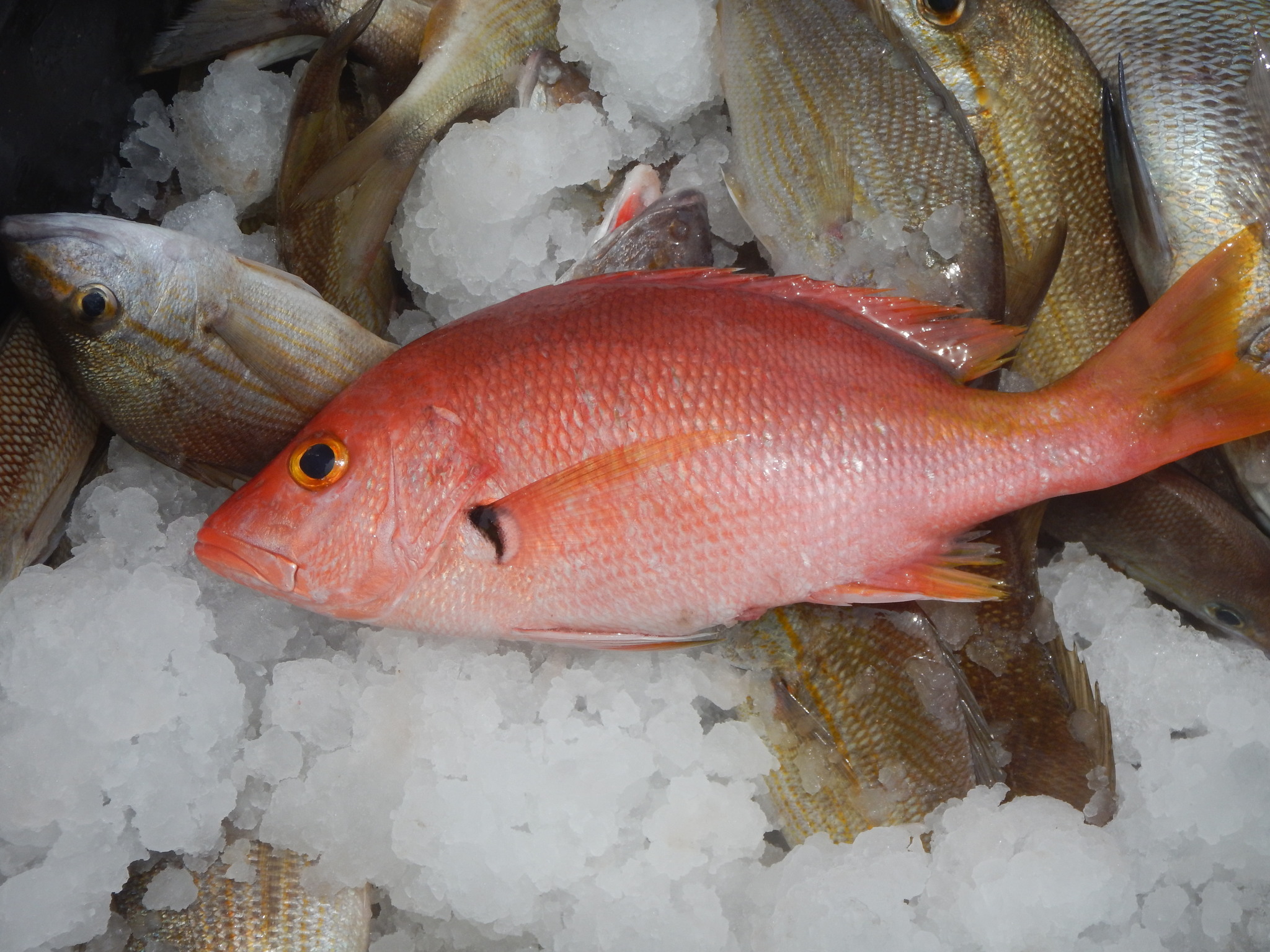
Blackfin snapper
- Family
- Lutjanidae
- Depth
- 20–200 m
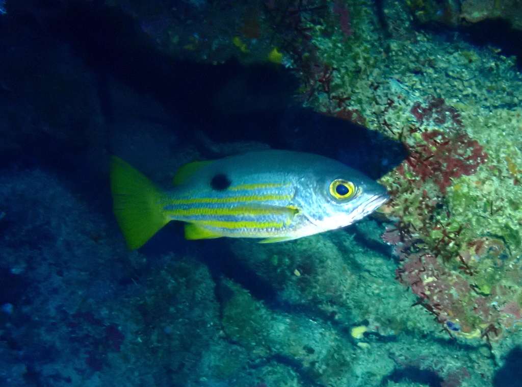
Blackspot snapper
- Family
- Lutjanidae
- Depth
- 5–20 m

Blacktail snapper
- Family
- Lutjanidae
- Depth
- 1–80 m
- Season
- Jan, Feb, Mar, Apr, May, Jun, Jul, Aug, Sep, Oct, Nov, Dec
Guides for this water
Technique, gear and safety guides that fit Lane snapper.