
Bronze seabream
Bronze seabream is a demersal, rocky coastal sparid of the western Indian Ocean, from southern Mozambique and Madagascar to the Cape of Good Hope. It lives in subtropical water and reaches 65 cm TL, and its recorded season runs from January to June.
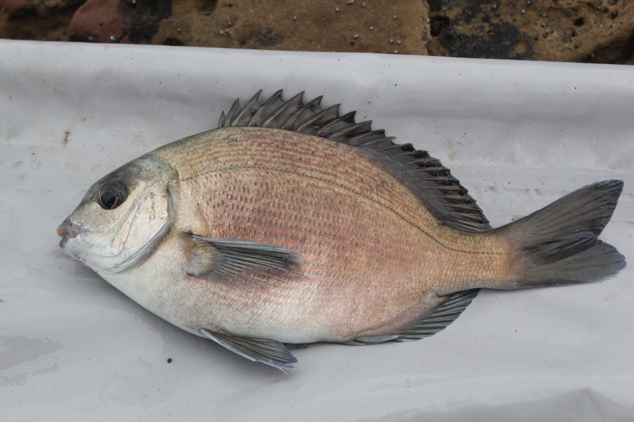
Three fields that decide most of a fishing plan are empty here: depth, weight and age. The fish is still well described — marine, demersal, subtropical, rocky, coastal, 65 cm — but the missing numbers change what an angler can plan. This page is about turning those absences into rules instead of filling them with guesses.
Three blanks on one page
The environment block gives the fish as marine, demersal and subtropical and stops there: no depth minimum, no depth maximum, no usual depth. The size block gives a 65 cm maximum and a 35 cm common length, both lengths total, with first maturity at 30 cm, but no maximum weight, no weight-length relation and no maximum age.
Each blank matters: depth decides the platform, weight the tackle, age how long a released fish takes to replace itself. Each must be replaced by a rule of thumb from what is left, labelled as an inference rather than passed off as a number.
What demersal can say without a number
The word demersal does real work even without a depth figure. It places the fish close to the bottom, not in mid-water, which rules out a floated bait fished high in the column and points to a rig that sits on the ground.
It does not give a depth. Demersal fish range from a few metres to several hundred, and this record offers no bracket. The honest translation is: the fish is a bottom fish, the depth is unknown, and the depth sounder is therefore not optional. Arriving at a mark and guessing is exactly the mistake the missing field invites.
Rocky and coastal: two words that survive
The biology keywords are rocky and coastal, and the diet lists crustaceans, fishes and algae. Those four entries are consistent with a bottom fish living on shallow reef and feeding across the rock. They are also the only positional information on the page.
Rocky and coastal together exclude sand flats and open mud, which is more than it sounds: it means the mark should have structure, and the bait should be near that structure. The diet adds a second filter. Crustacean and fish baits match two of the three food groups, and algae matches the third only by association — a fish that grazes rock also eats the animals on it.
Decisions that stay in centimetres
Without a weight field, every decision has to be made in length. The usable numbers are 30 cm for first maturity, 35 cm for the common fish and 65 cm for the maximum. The gap between maturity and common length is only five centimetres, which is the same pattern seen in other sparids in this set.
For a release decision the 30 cm figure is the one that matters: below it, the fish has not spawned by the record's standard. For tackle, the 65 cm maximum says the fish can reach a size worth a heavier leader, but the record gives no weight to size the drag. Use the maximum as the upper bound; expect the common 35 cm.
Subtropical without a temperature
The climate word is subtropical, and no temperature range, minimum or optimum is given. That leaves the word to do all the work. Subtropical places the fish in warm-temperate to subtropical water, which is a broad band and matches the three-country range.
The practical value is negative: it tells you the fish is not a tropical species and not a cold-water one, so a mark that fits the subtropical description is plausible and one that does not is a poor use of time. It cannot tell you whether the water is too warm today, because the record has no number to compare against.
Three countries, no coastline map
The distribution runs from southern Mozambique and Madagascar to the Cape of Good Hope, and the country table lists exactly three entries: Madagascar, Mozambique and South Africa. The English names — Bronze bream, Bronze seabream, Blue hottentot — give a colour and a group, not a place.
Three countries along a long coastline is a narrow record. It records where the fish has been documented, not where it stops. A fish recorded from southern Mozambique to the Cape can plausibly occur between those points; the page neither confirms nor denies it. Treat the three names as the documented range, and the coastline between them as the likely range. On iNaturalist the species carries 78 observations, a public count separate from the three-country table.
Wikipedia's revision 1354754615 supplies the use that the FishBase record leaves out: it calls the species important for recreational fisheries in South Africa and for subsistence fisheries too. GBIF's six declarations line up with the same three areas — a global IUCN entry, two Madagascar records, South Africa, and two Mozambican EEZ records — so the country list is not an artefact of one database. For a visitor, that fixes where the rules live: South African recreational limits and subsistence permits are the ones that apply to most of the documented range, and Mozambique and Madagascar have their own.
January to June: a southern summer
Spawning is recorded from January to June, for South Africa. In the southern hemisphere that is summer into autumn, and it is the only spawning entry on the page.
Two things follow. First, the post-spawn period is the southern winter, so the fish of July and August are the thin ones. Second, a six-month window from a single country is a local record, not a species-wide law; the Madagascar and Mozambique populations have no entry at all. The window is usable for South African planning and should be carried elsewhere only as a guess.
A search plan built from absences
Put the absences to work in order. Start from the bottom, because demersal is the strongest word on the page. Then narrow to rock, because rocky is the strongest habitat word. Then sound, because depth is the missing field and the only way to replace it is to measure.
Fish the coastal rock with a bottom bait, one rod static and one moved along the structure, and treat the depth you find as data rather than as a target. Release at 30 cm, expect fish around 35 cm, and leave the 65 cm end alone unless it is a genuine fish of a lifetime. The blanks do not prevent a plan; they decide which part of the plan has to be measured rather than assumed.
Where these facts come from
Check these pages before you rely on a size, range or protection status.
- FishBase — Pachymetopon grande — FishBase · T2
- GBIF — Pachymetopon grande occurrence records — GBIF · T2
- IUCN Red List — Pachymetopon grande — IUCN · T1
- Photo record — iNaturalist — iNaturalist · T3
Fish in the same water
These fish live in the same place.
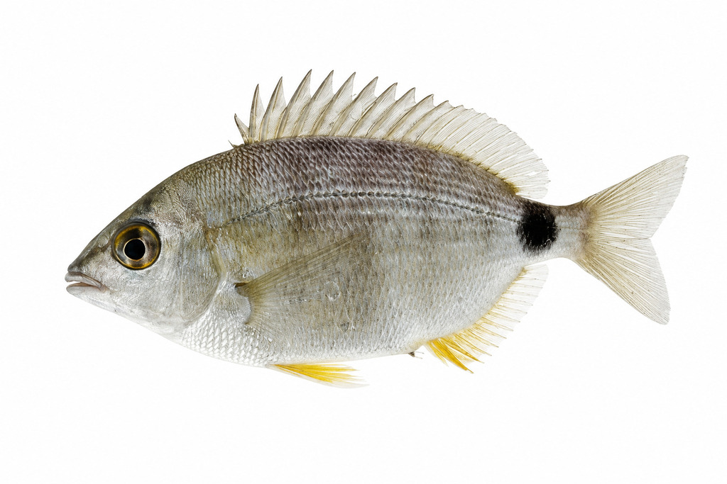
Annular seabream
- Family
- Sparidae
- Depth
- 0–90 m
- Season
- Jan, Feb, Mar, Apr, May, Jun, Jul, Aug, Sep

Axillary seabream
- Family
- Sparidae
- Depth
- 0–500 m
- Season
- Jan, Feb, Mar, Apr, May, Jun, Jul, Aug, Sep, Oct, Nov, Dec
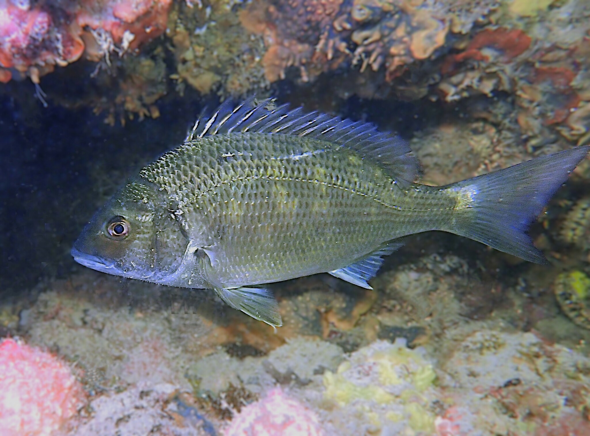
Black bream
- Family
- Sparidae
- Season
- Jan, Feb, Jul, Aug, Sep, Oct, Nov, Dec
Guides for this water
Technique, gear and safety guides that fit Bronze seabream.